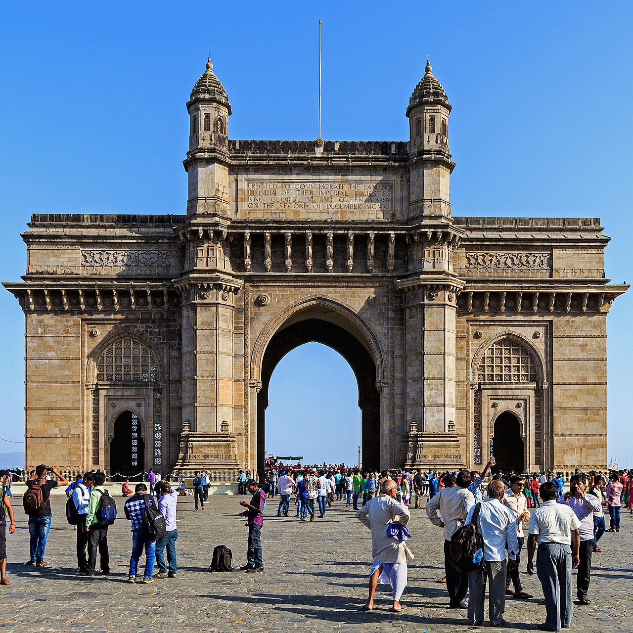
دليل سفر Maharashtra
7 أماكن للزيارة في Aurangabad
يُعرف أيضًا باسم Chhatrapati Sambhajinagar · City of Gates · Khadki
Aurangabad takes its name from the Mughal emperor Aurangzeb, who governed the Deccan from here before the city was officially renamed Chhatrapati Sambhajinagar in 2023, and both names remain in active daily use.
آخر تحديث ·أعدّه Traveliac، بمساعدة الذكاء الاصطناعي ·كيف نصنّف
- أفضل وقت
- Oct – Mar
- الوقت اللازم
- نحو 3 يوم
- 15 ساعة من الجولات
- مطار الوصول
- Chhatrapati Sambhaji Maharaj Airport (IXU)
- أقرب محطة
- Chhatrapati Sambhajinagar Railway Station (AWB)
- الدخول مجاني
- 1 من 7
أفضل الأنشطة في Aurangabad
مُصنّفة وفق خمسة معايير منشورة- 1
ضريح
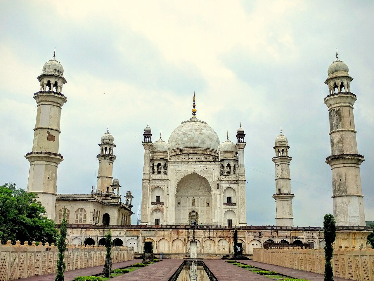
Bibi Ka Maqbara
Bibi Ka Maqbara charges ₹25 for Indian nationals and ₹300 for foreign nationals as of 2026, making it one of Chhatrapati Sambhajinagar's few…
1.5 hrs₹25 للهنود
 2
2تراث
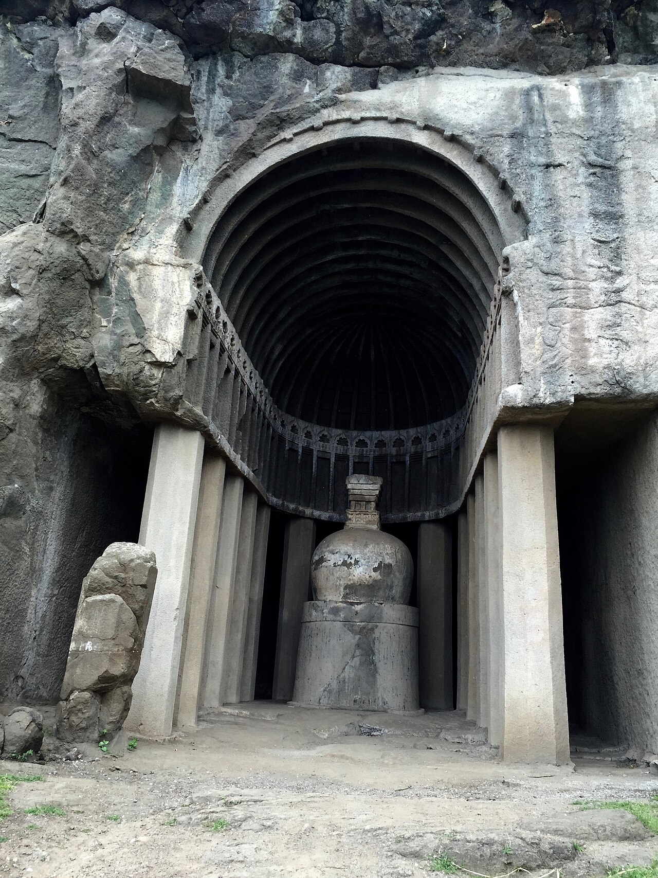
Aurangabad Caves
Aurangabad Caves hold 12 rock-cut Buddhist shrines carved into a basalt hill roughly 2 km from Bibi Ka Maqbara, split into a western group (Caves…
1.5 hrs₹25 للهنود
 3
3معبد
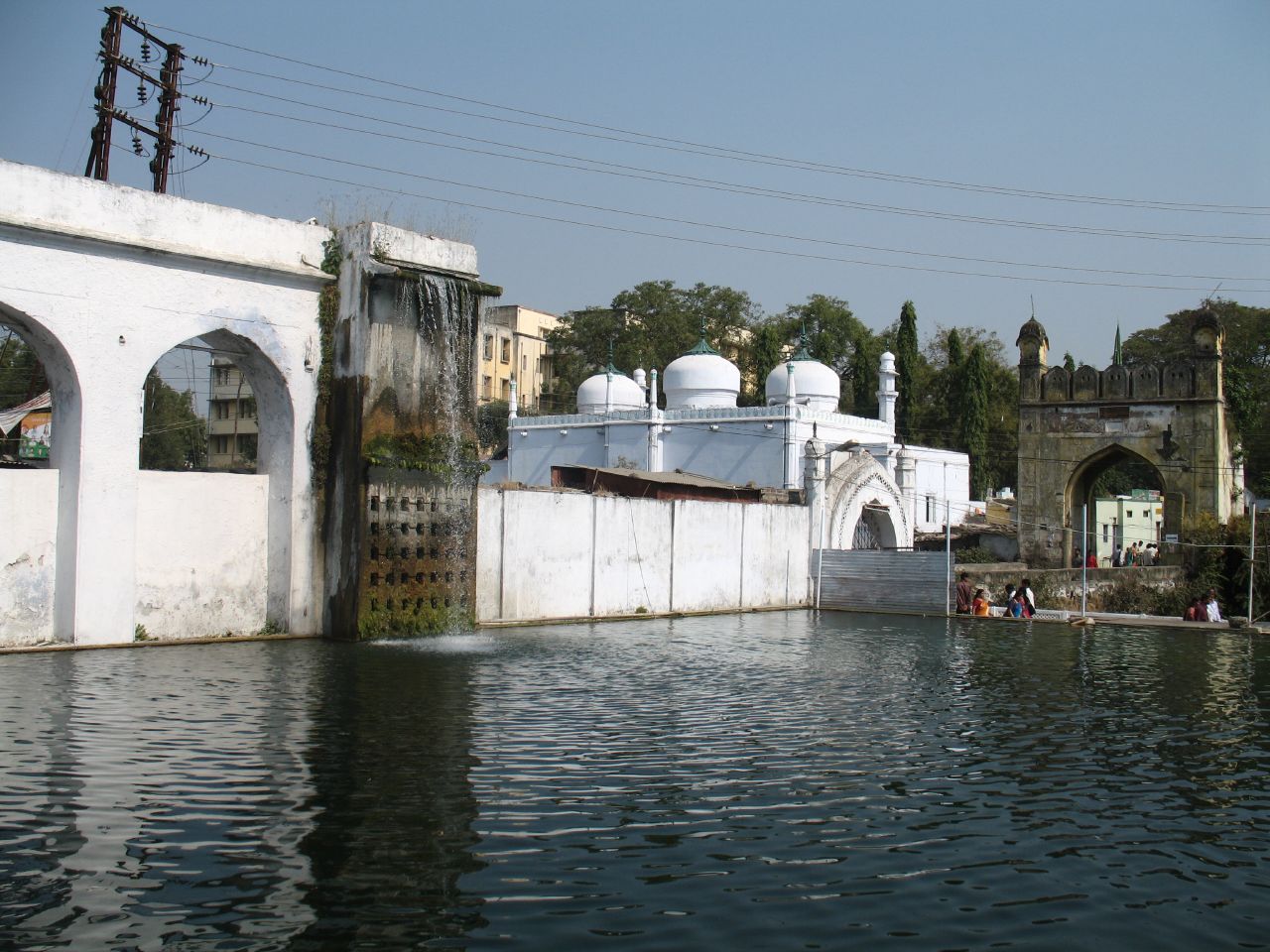
Panchakki
Panchakki takes its name from the Marathi words for five (panch) and mill (chakki), referring to the grindstones once powered entirely by water…
1 hr₹20
 4
4قلعة
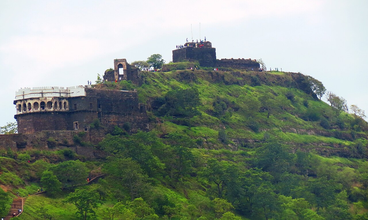
Daulatabad Fort
Daulatabad Fort occupies a 200-metre conical basalt hill roughly 16 km from Chhatrapati Sambhajinagar, its slopes carved into a smooth, unclimbable…
2.5 hrs₹25 للهنود
 5الدخول مجاني
معبد
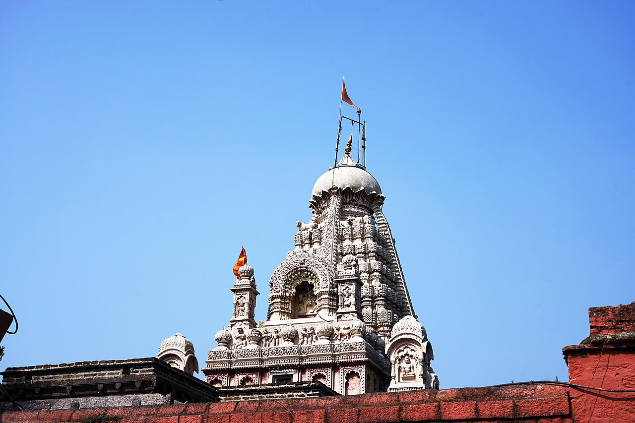
Grishneshwar Jyotirlinga Temple
Grishneshwar Jyotirlinga Temple ranks as one of the twelve Jyotirlinga shrines of Shiva recognised across India, and sits roughly 2 km from Ellora…
45 min
 6
6تراث
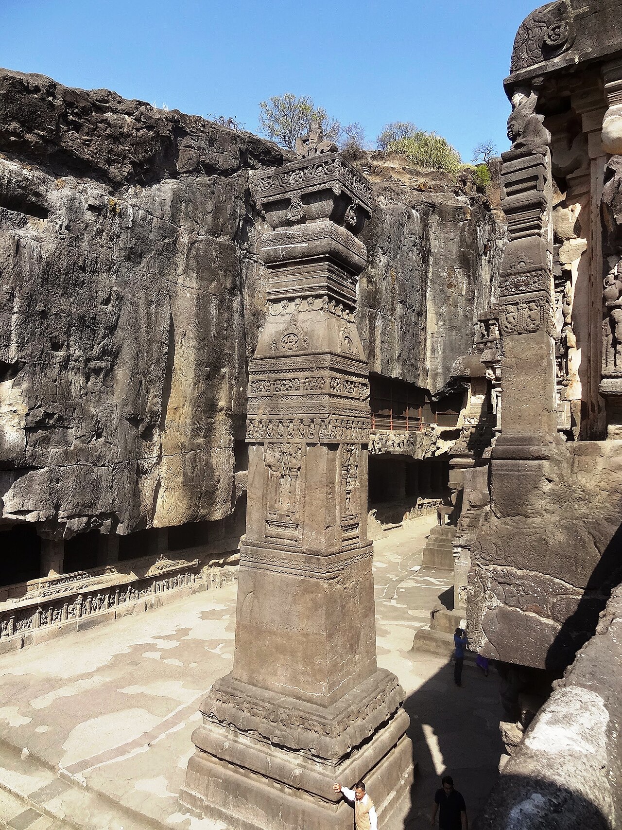
Ellora Caves
Ellora Caves contain 34 rock-cut monuments cut into a 2-kilometre basalt escarpment: 12 Buddhist caves at the southern end, 17 Hindu caves in the…
4 hrs₹40 للهنود
 7
7تراث
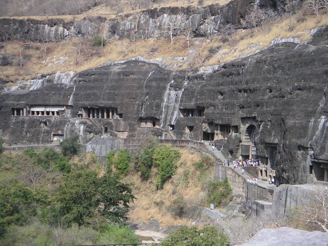
Ajanta Caves
Ajanta Caves sit roughly 100 km from Chhatrapati Sambhajinagar city, carved into a horseshoe-shaped gorge above the Waghur river in two distinct…
4 hrs₹40 للهنود
خريطة الأماكن السياحية في Aurangabad
الأرقام تطابق الترتيب؛ أفضل 3 أماكن باللون البرتقالي. اضغط على أي دبوس لعرض دليله. لا يزال 1 مكان (أماكن) بلا موقع على الخريطة.
رحلات يومية من Aurangabad
تستحق التخصيص إن تبقّى لديك يوم إضافي، الأقرب أولًا.
24 km · 40 min
Khuldabad
Walled town known as the 'Valley of Saints,' holding the unmarked grave of Aurangzeb alongside several Sufi shrines, on the same road as Daulatabad and Ellora.
50 km · 1h
Paithan and Jayakwadi Dam
Ancient town of Pratishthana on the Godavari river, source of the handwoven Paithani saree tradition, with the Jayakwadi Dam's Nath Sagar reservoir and a formal quadrant garden laid out on the Mughal charbagh model.
150 km · 3h
Lonar Crater Lake
Saline, alkaline lake formed by a meteorite impact roughly 50,000 years ago, ringed by ruined temples and one of very few hypervelocity impact craters in basalt rock worldwide.
عن Aurangabad
The city sits at the midpoint of a triangular heritage circuit: Ajanta Caves roughly 100 km to the northeast, Ellora Caves about 29 km to the northwest, and a dense cluster of Mughal and Nizam-era monuments — Bibi Ka Maqbara, Panchakki, and the rock-cut Aurangabad Caves — within the city limits themselves. Historically the seat of the Nizam Shahi and later Mughal Deccan administration, Aurangabad grew around fifty-two gates (darwazas) built for defence and toll collection, several of which, including Delhi Gate and Bhadkal Gate, still stand within the old city's street grid.
Chhatrapati Sambhaji Maharaj Airport (IXU) connects the city to Mumbai, Delhi, and other domestic hubs, while Chhatrapati Sambhajinagar Railway Station links it to the broader Central Railway network; most travellers arriving for Ajanta specifically find Jalgaon, about 59 km northeast of the caves, a closer rail gateway than the city itself. Within Aurangabad, auto-rickshaws are the practical way to move between sites, since distances between the central monuments and the outlying Daulatabad-Ellora corridor exceed comfortable walking range.
October through March brings dry, manageable heat suited to the fort climb at Daulatabad and the exposed plaza at Ellora; April through June turns punishing, particularly for the shadeless ascent to Daulatabad's citadel, and the July–September monsoon brings intermittent heavy rain that can disrupt the Ajanta road route.
لاحظت خطأ، أو مكانًا فاتنا؟
أخبرنا، وسيتحقق أحد المحررين من المصادر الرسمية ويصحّح الصفحة.