دليل سفر Uttarakhand
8 أماكن للزيارة في Mussoorie
يُعرف أيضًا باسم Queen of the Hills
Mussoorie sits along a 15-kilometre horseshoe ridge at roughly 2,000 metres, laid out lengthwise rather than in a compact grid, which means visitors spend more time moving along the ridge between Library Chowk, Kulri Bazaar, and Landour than crossing it. Captain Frederick Young, travelling with an official named F.J.
آخر تحديث ·أعدّه Traveliac، بمساعدة الذكاء الاصطناعي ·كيف نصنّف
- أفضل وقت
- Oct – Jun
- الوقت اللازم
- نحو 2 يوم
- 10 ساعة من الجولات
- مطار الوصول
- Jolly Grant Airport
- أقرب محطة
- Dehradun Railway Station
- الدخول مجاني
- 5 من 8
أفضل الأنشطة في Mussoorie
مُصنّفة وفق خمسة معايير منشورة- 1الدخول مجاني
شلال
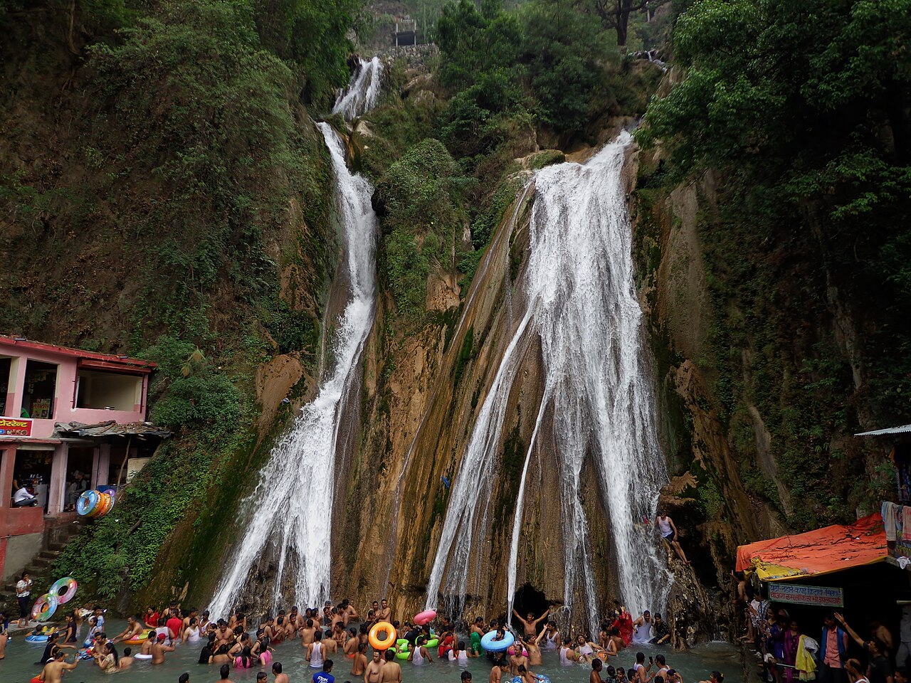
Kempty Falls
Kempty Falls drops roughly 40 metres over grey granite bedrock, 15 kilometres from Mussoorie's Library Bus Stand on the Yamunotri road.
2 hrs
 2الدخول مجاني
نقطة إطلالة
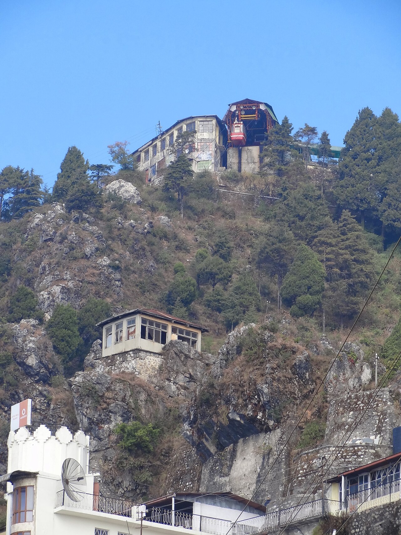
Gun Hill
Gun Hill stands at 2,024 metres, the second-highest point in Mussoorie after Lal Tibba, reached by a 400-metre ropeway from Mall Road or a 30–40…
1 hr
 3
3طبيعة
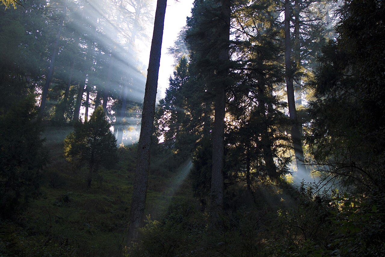
Lal Tibba
Lal Tibba rises to approximately 2,275 metres in Landour, making it the highest point in Mussoorie and the town's principal Himalayan-viewing perch.
45 min₹50
 4الدخول مجاني
طبيعة
Camel's Back Road
Camel's Back Road is a level, roughly 3-kilometre pedestrian and horse-track connecting Kulri Bazaar to Library Chowk along the northern face of the…
1.5 hrs
 5
5حديقة
Company Garden
Company Garden sits roughly 3 kilometres from Mussoorie's Mall Road toward Jharipani, a terraced municipal garden built around a small artificial…
1.5 hrs₹18
 6
6بحيرة
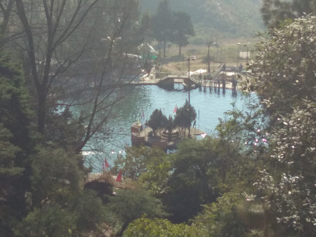
Mussoorie Lake
Mussoorie Lake is a small artificial lake roughly 6 kilometres below the town centre on the Mussoorie–Dehradun road, built by damming a seasonal…
1 hr₹15
 7الدخول مجاني
تراث
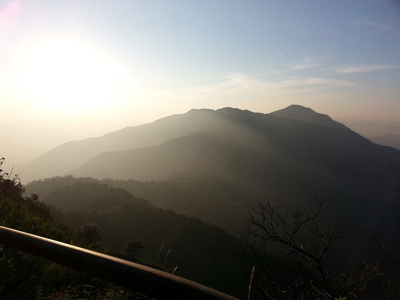
George Everest's House
George Everest's House, also known as Park Estate, stands roughly 6 kilometres from Mussoorie's Library Bus Stand on a cliff edge near the road…
1 hr
 8الدخول مجاني
تراث
Cloud's End
Cloud's End marks the western limit of Mussoorie's original ridge settlement, roughly 7 kilometres from the town centre along Hathipaon Road.
1.5 hrs
خريطة الأماكن السياحية في Mussoorie
الأرقام تطابق الترتيب؛ أفضل 3 أماكن باللون البرتقالي. اضغط على أي دبوس لعرض دليله. لا يزال 4 مكان (أماكن) بلا موقع على الخريطة.
رحلات يومية من Mussoorie
تستحق التخصيص إن تبقّى لديك يوم إضافي، الأقرب أولًا.
34 km · 1h 30m
Dhanaulti
Quieter deodar-forested ridge above Mussoorie's crowds, with the Eco Park and views toward the Gangotri and Kedarnath ranges.
34 km · 1h 15m
Dehradun
Uttarakhand's capital, useful as a heritage and market stop (Paltan Bazaar, Robber's Cave) on the way to or from Jolly Grant Airport.
42 km · 1h 45m
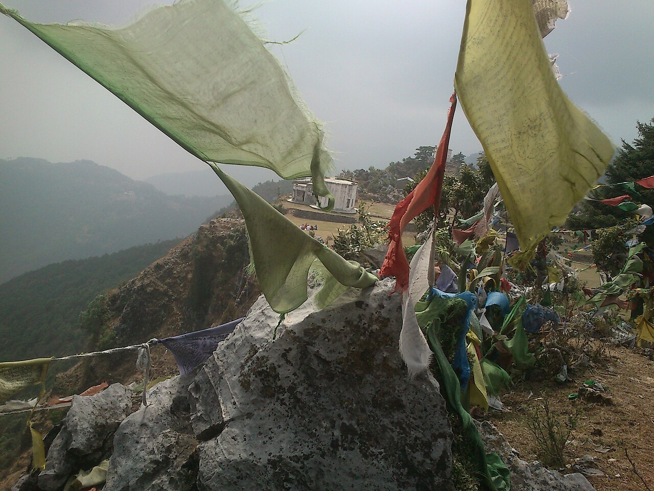
Surkanda Devi Temple
Hilltop Shakti Peetha temple at roughly 2,750 metres, reached by a steep 1.5-kilometre pilgrim trail with a 360-degree Himalayan panorama.
78 km · 2h 45m
Rishikesh
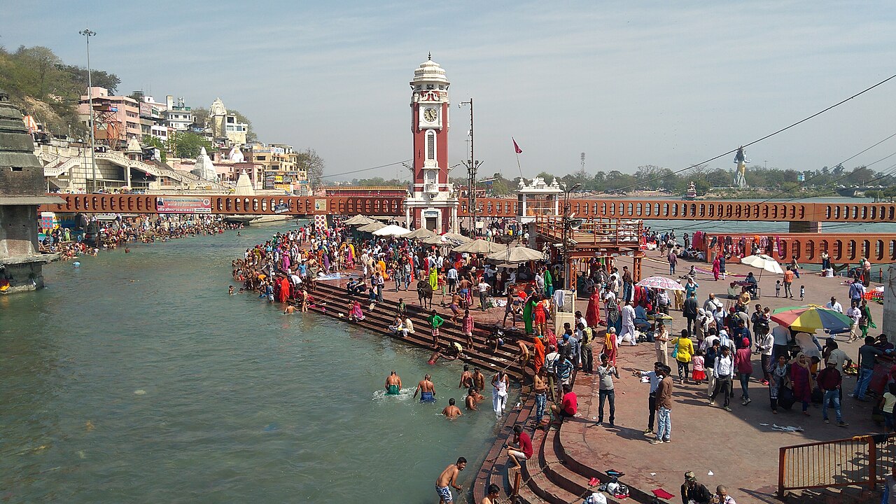
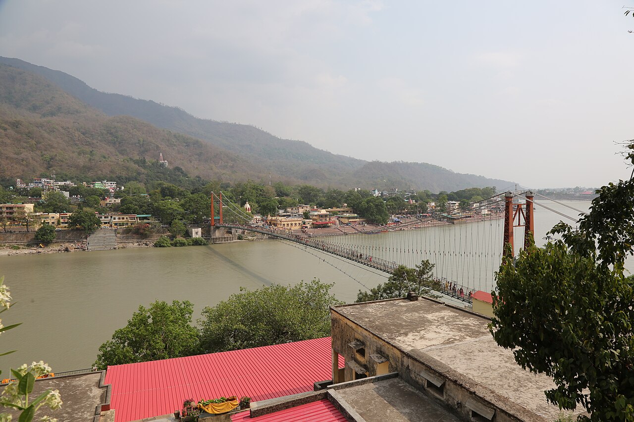
Ganga-side pilgrim and yoga town with the Lakshman Jhula and Ram Jhula suspension bridges and ashram circuit — a full day trip rather than a quick add-on.
عن Mussoorie
Shore, climbed the hill from the Doon Valley in 1827 and identified the ridge's views and climate as suitable for a British settlement — a decision that founded the hill station within a few years.
The town splits into two linked zones with distinct character. Mall Road and the Kulri and Library bazaars form the commercial spine, dense with hotels, restaurants, and the ropeway to Gun Hill. Landour, roughly 3–4 kilometres east and higher up the ridge, developed separately as a British cantonment from 1827 and has kept a quieter, more residential feel, with narrow lanes running past colonial-era cottages, Char Dukan's breakfast stalls, and Lal Tibba's Himalayan viewpoint at the ridge's highest point.
Dehradun's Jolly Grant Airport, about 55–60 kilometres away, and Dehradun Railway Station, roughly 34 kilometres away, are the main transport gateways; both connect to Mussoorie by a winding hill road of roughly 1–1.5 hours. The Delhi–Dehradun Shatabdi Express covers the rail leg from Delhi in around 5 hours. The best months to visit run October through June, avoiding the July–September monsoon when landslides periodically disrupt roads and several viewpoints lose visibility to cloud cover; peak summer (April–June) brings the heaviest crowds and highest hotel rates, while winter (December–February) offers a quieter town and occasional snowfall on the ridge.
لاحظت خطأ، أو مكانًا فاتنا؟
أخبرنا، وسيتحقق أحد المحررين من المصادر الرسمية ويصحّح الصفحة.