Uttarakhand travel guide
9 Places to Visit in Nainital
Also known as Naini Tal · Lake District of India
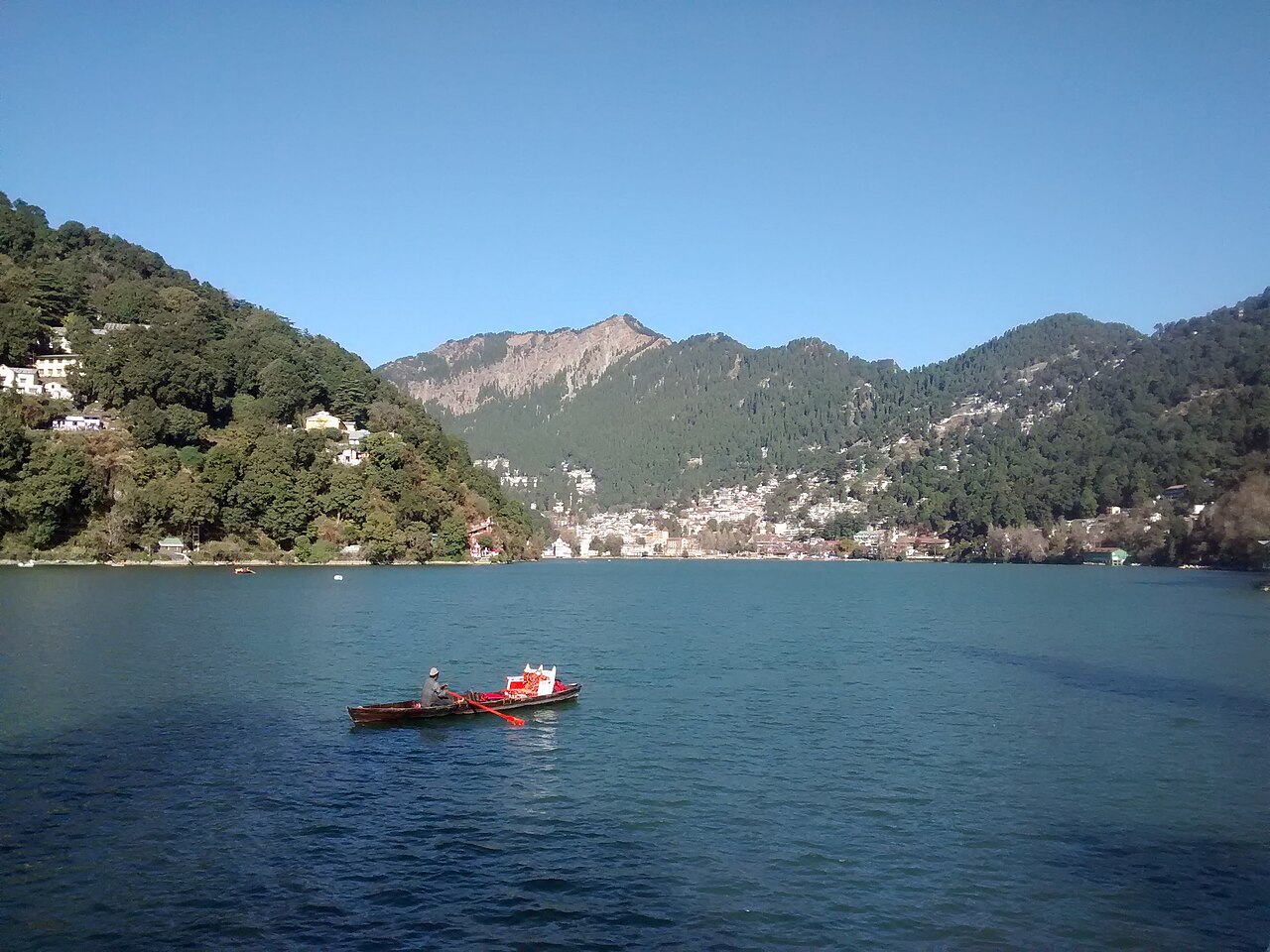
Nainital wraps around Naini Lake at 1,938 metres in the Kumaon foothills, a crescent-shaped hill station founded in 1841 when the British trader P. Barron settled at the lakeside and began the development that turned a locally revered pilgrimage site into a colonial summer retreat.
Updated ·Compiled by Traveliac, AI-assisted ·How we rank
- Best time
- Mar – Jun, Sep – Nov
- Time needed
- About 3 days
- 16 hours of sightseeing
- Fly into
- Pantnagar Airport (PGH)
- Nearest station
- Kathgodam Railway Station
- Free to enter
- 8 of 9
Top things to do in Nainital
Ranked on five published criteria- 1Free entry
Lake
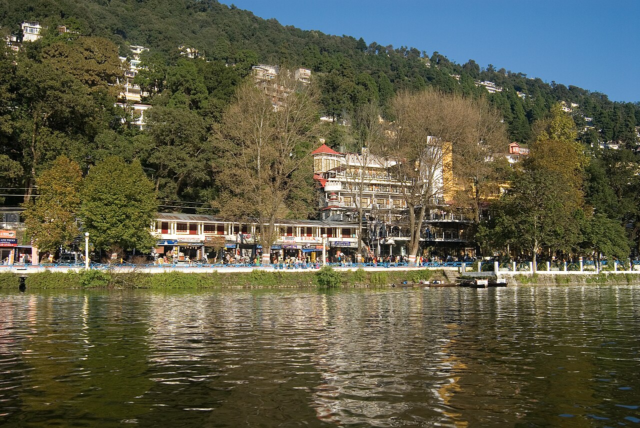
Naini Lake
Naini Lake sits at 1,938 metres and measures roughly 1,432 metres in length by 460 metres at its widest point, a crescent moon-shaped basin trapped…
1.5 hrs
 2Free entry
Temple
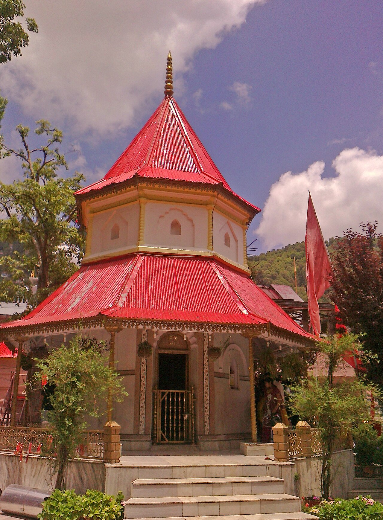
Naina Devi Temple
Naina Devi Temple stands at the northern edge of Naini Lake in Mallital, rebuilt in 1883 after the original shrine was destroyed in the 1880…
45 min
 3Free entry
Heritage
Mall Road Nainital
Mall Road runs for roughly 1.5 kilometres along the eastern shore of Naini Lake, connecting the Mallital settlement in the north to Tallital in the…
2 hrs
 4Free entry
Church
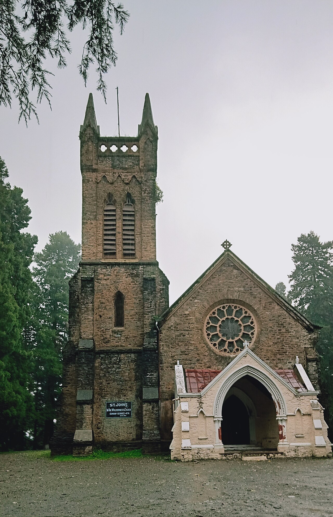
St. John in the Wilderness Church
St. John in the Wilderness Church stands among deodar trees at the edge of Mallital, one of Nainital's oldest surviving buildings and among the…
40 min
 5
5Zoo
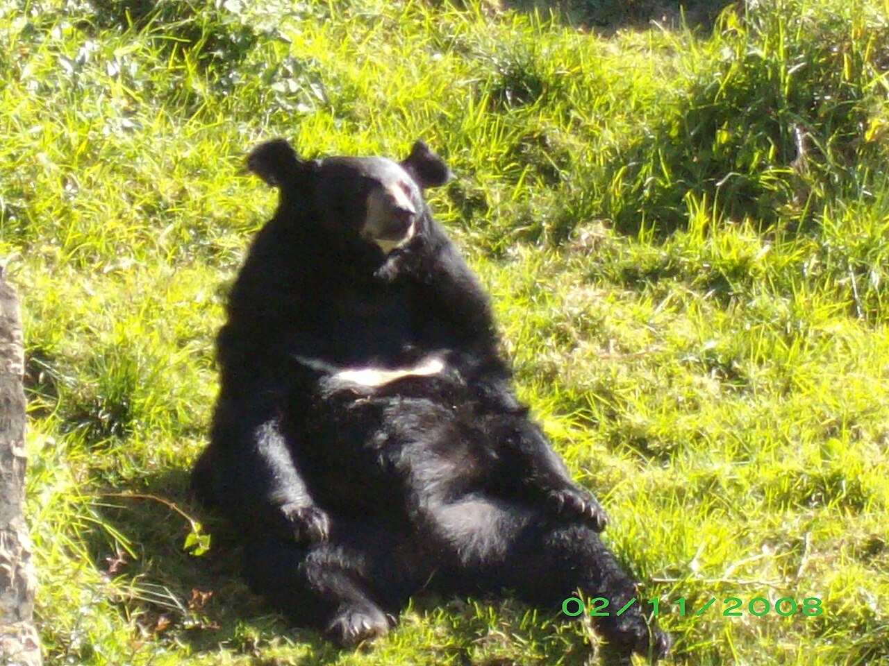
Pt. G.B. Pant High Altitude Zoo
Pt. G.B. Pant High Altitude Zoo sits at roughly 2,100 metres above Mallital, making it one of the highest-altitude zoos in India and giving it a…
1.5 hrs₹50 Indian
 6Free entry
Nature
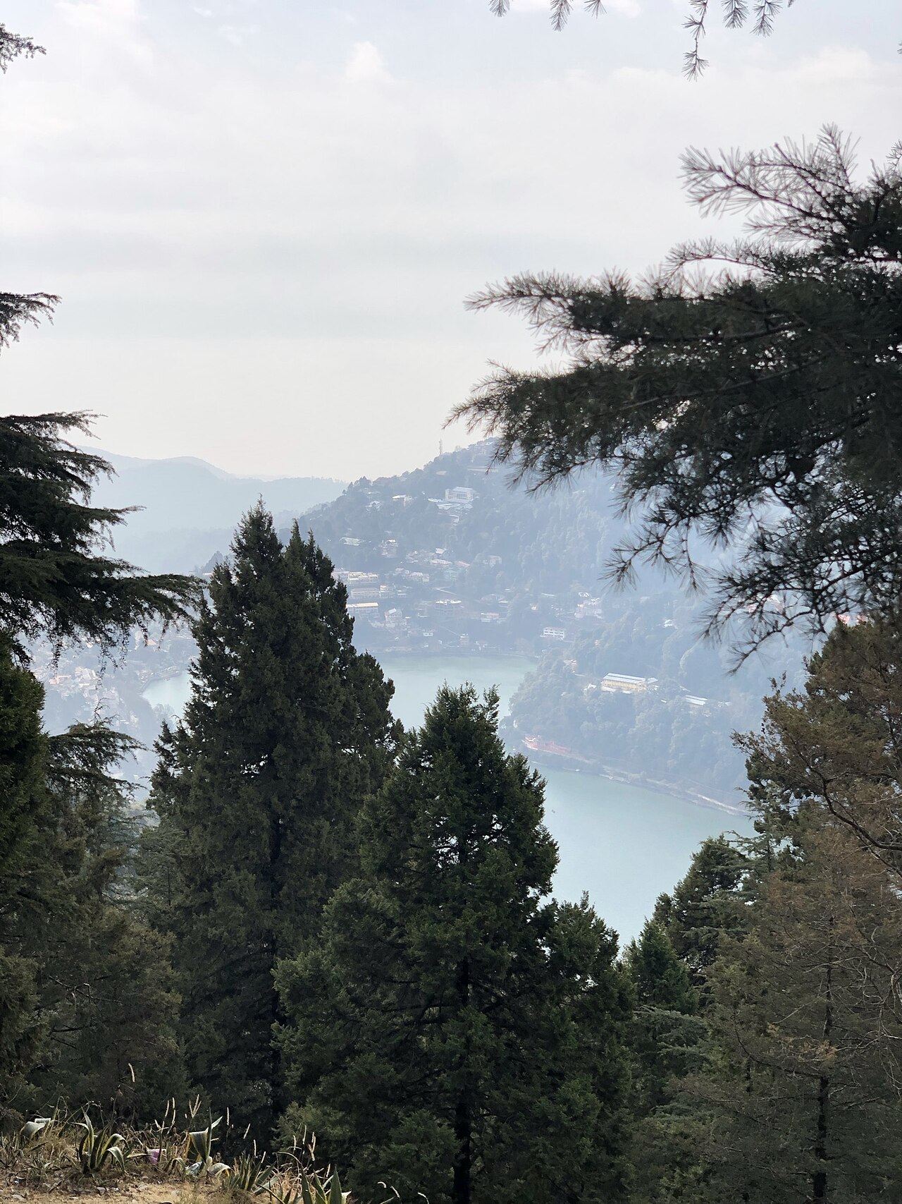
Snow View Point
Snow View Point sits at roughly 2,270 metres on the slope of Naina Peak above Mallital, reached either by the Kumaon Mandal Vikas Nigam's aerial…
1.5 hrs
 7Free entry
Viewpoint
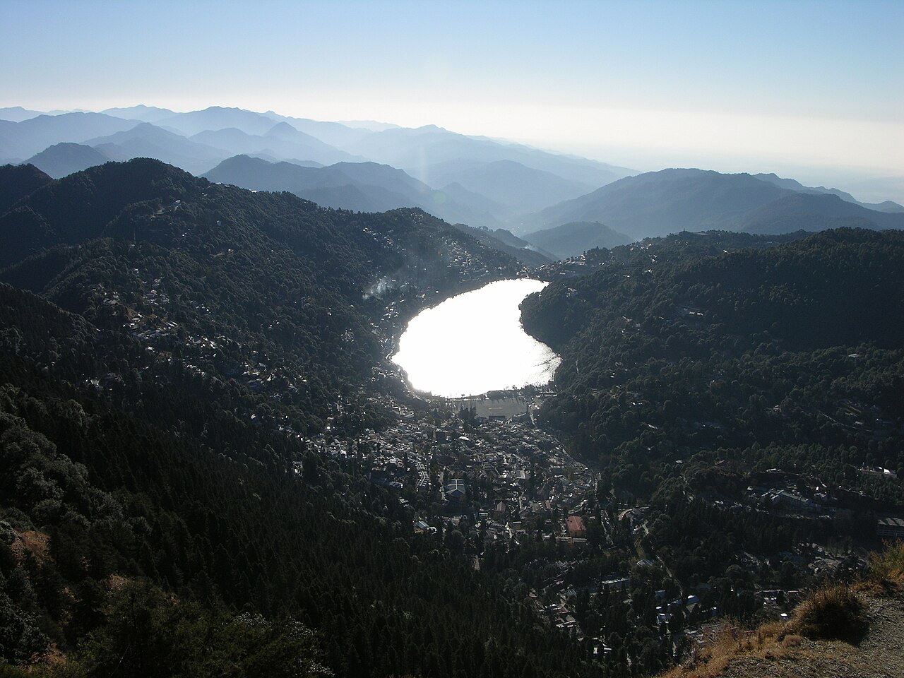
Naina Peak
Naina Peak rises to 2,615 metres above Nainital, the highest point in the town's immediate hills and the summit that the Snow View ropeway climbs…
5 hrs
 8Free entry
Nature
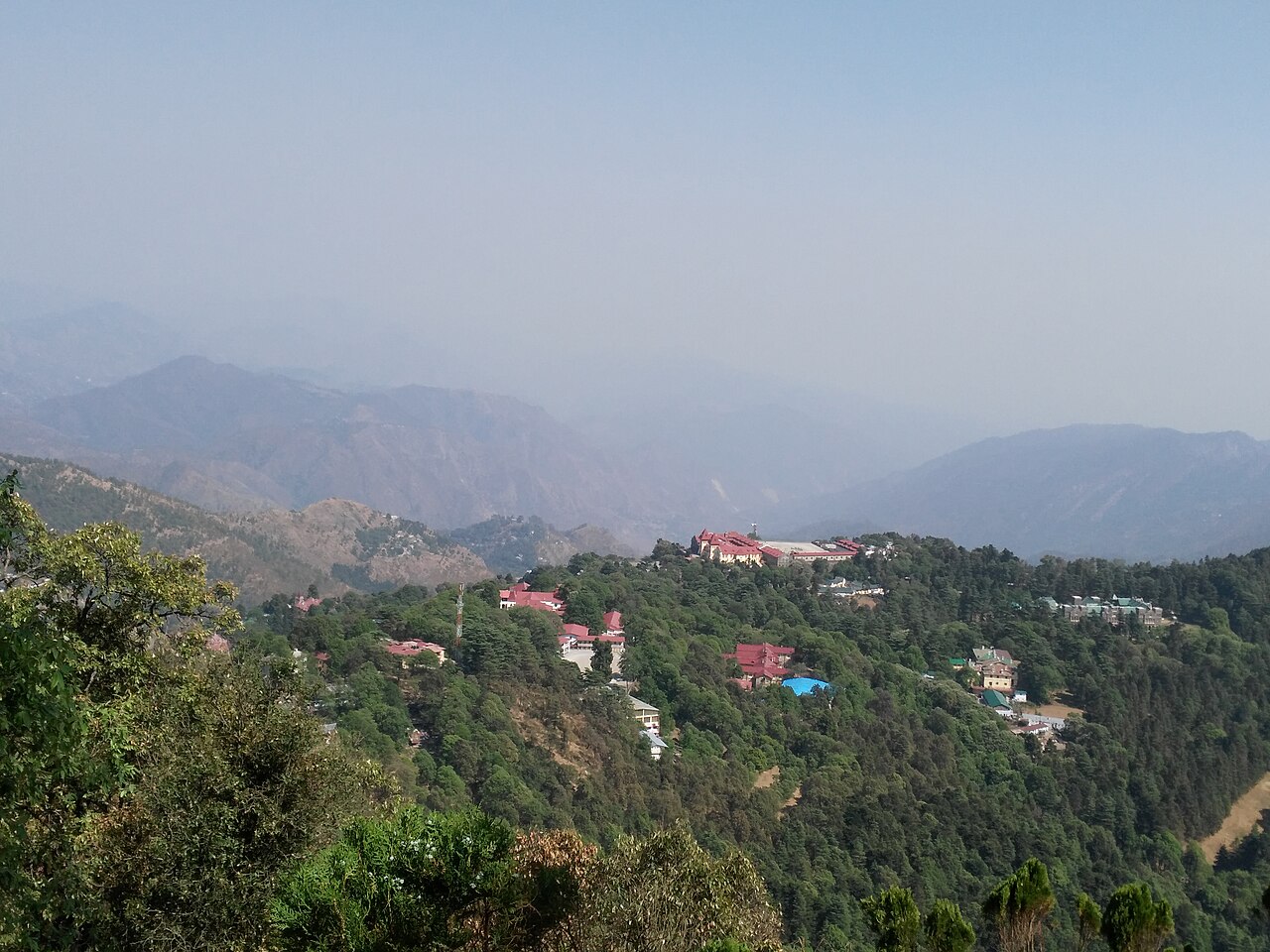
Tiffin Top
Tiffin Top sits at roughly 2,290 metres on the Ayarpata Hill ridge above Nainital, a 4-kilometre trail or bridle path from the town that climbs…
2.5 hrs
 9Free entry
Temple
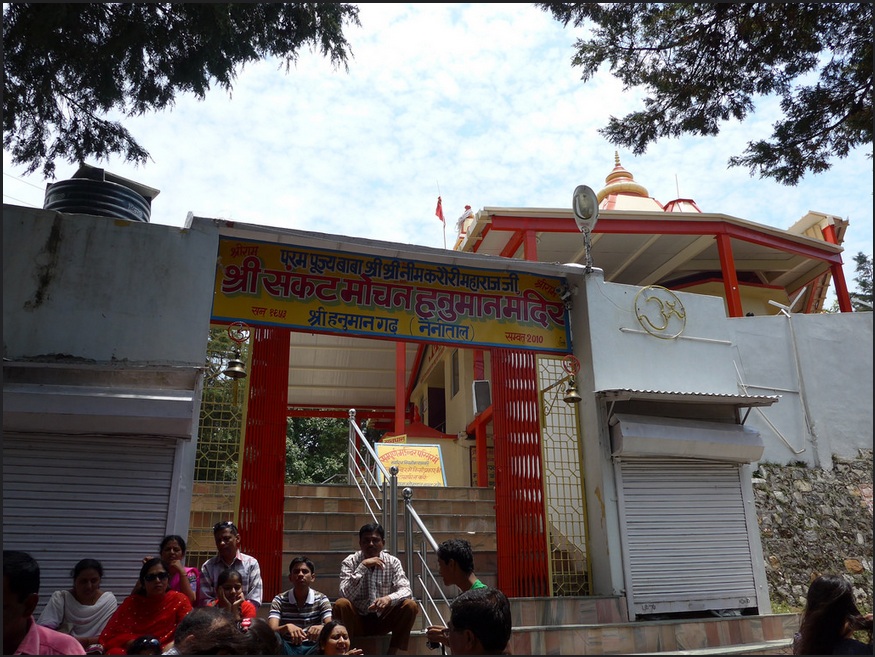
Hanuman Garhi
Hanuman Garhi sits at roughly 1,950 metres on the Nainital–Haldwani road, a temple dedicated to Hanuman built by the saint Neem Karoli Baba in 1950,…
45 min
Map of places to visit in Nainital
Numbers match the ranking; the top 3 are orange. Tap a pin for its guide. 6 places have no map position yet.
Day trips from Nainital
Worth a day out if you have one to spare, nearest first.
17 km · 35m
Kainchi Dham
Neem Karoli Baba's principal ashram on the Nainital–Almora road, the same spiritual lineage as Hanuman Garhi and a significant pilgrimage stop in its own right.
22 km · 45m
Bhimtal
The largest lake in the Kumaon region, with a small island aquarium at its centre and a far quieter shoreline than Naini Lake.
23 km · 50m
Sattal
A cluster of seven interconnected freshwater lakes set in dense oak and pine forest, popular with birdwatchers for its resident and migratory Himalayan bird species.
51 km · 1h 45m
Mukteshwar
A quieter Kumaon hill town at 2,171 metres with a 350-year-old Shiva temple and wider, less obstructed Himalayan views than Nainital's own viewpoints.
65 km · 2h 15m
Ramnagar / Jim Corbett National Park
India's oldest national park and a working tiger reserve, with a direct biographical link to the Corbett family graves at St. John in the Wilderness Church.
About Nainital
The town's layout still follows that 19th-century logic: Mall Road runs 1.5 kilometres along the lake's eastern shore connecting the two clusters of Mallital in the north and Tallital in the south, with virtually every major sight — the Naina Devi Temple, the aerial ropeway, the boat house, St. John in the Wilderness Church — within easy walking distance of that single street.
The hills ringing the lake carry the rest of the sightseeing: Tiffin Top and Naina Peak to the west and above Mallital respectively, Snow View Point partway up the same ridge that Naina Peak crests, and Hanuman Garhi to the south along the Haldwani road, each offering a different angle on the valley and, on clear days, the distant Himalayan skyline. Eco Cave Gardens and the Pt. G.B. Pant High Altitude Zoo round out the more family-oriented stops, the latter notable as one of India's few zoos dedicated specifically to cold-climate Himalayan species.
Kathgodam, 35 kilometres away, is the nearest railhead and the practical gateway for most visitors arriving by train from Delhi, while Pantnagar Airport, 71 kilometres out, handles the limited direct flights. The town's defining historical event — a landslide on 18 September 1880 that killed around 151 people near the Naina Devi Temple — still shapes both the built environment and the local memory of the place. October to June is the reliable visiting window; the July–September monsoon brings landslide risk and frequently obscures the hill viewpoints in cloud.
Nainital travel FAQs
How many days do you need in Nainital?
Plan about 3 days for Nainital. Its top attractions take roughly 16 hours of sightseeing in total, so 3 days covers the highlights without rushing — you can move faster if you are short on time.
What is the best time to visit Nainital?
The best time to visit Nainital is Mar – Jun, Sep – Nov.
What is Nainital famous for?
Nainital is best known for its top sights, including Naini Lake, Naina Devi Temple and Mall Road Nainital. The full ranked list of things to do is on this page.
How much time should you spend at Naini Lake?
Allow about 1.5 hrs for Naini Lake.
Spotted something wrong, or a place we missed?
Tell us and an editor will check it against official sources and fix the page.