Himachal Pradesh यात्रा गाइड
Dharamshala में घूमने की 8 जगहें
इन्हें भी कहा जाता है Dharamsala
Dharamshala sits at 1,457 metres in the Kangra Valley, split between a lower administrative town that has served as Kangra district's headquarters since 1855 and the upper suburb of McLeod Ganj, 9 km up the ridge at 2,082 metres, which has hosted the Tibetan government-in-exile since the 14th Dalai Lama arrived there in 1960.
अपडेट किया गया ·तैयार किया गया Traveliac, AI की मदद से ·हम कैसे रैंक करते हैं
- सबसे अच्छा समय
- Mar – Jun, Sep – Nov
- आवश्यक समय
- लगभग 3 दिन
- घूमने के 20 घंटे
- निकटतम हवाई अड्डा
- Kangra Airport
- नज़दीकी स्टेशन
- Chamunda Marg
- निःशुल्क प्रवेश
- 8 में से 4
Dharamshala में करने के लिए टॉप चीज़ें
पांच प्रकाशित मानदंडों पर रैंक किया गया- 1निःशुल्क प्रवेश
बौद्ध स्थल
McLeod Ganj
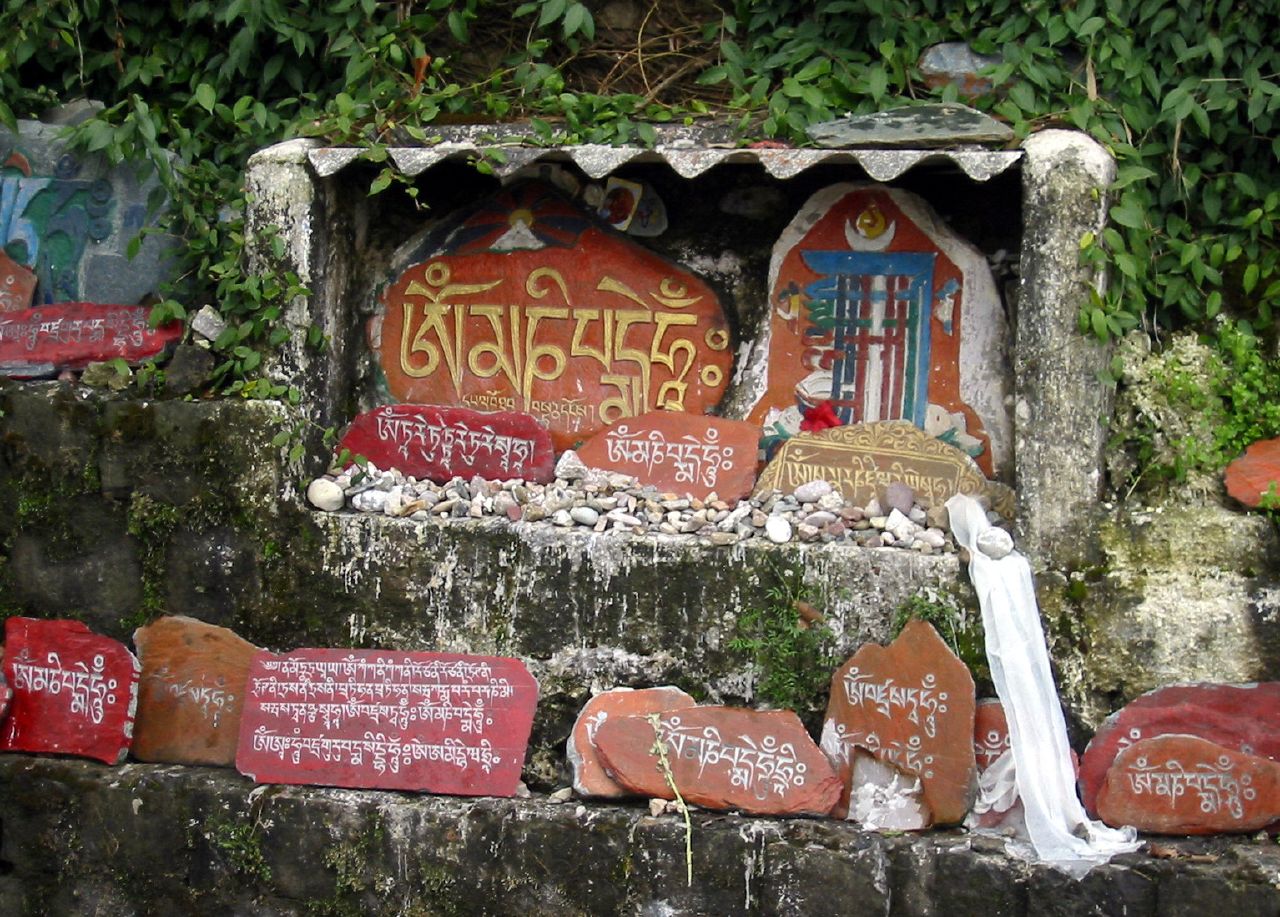
McLeod Ganj sits at 2,082 metres on a shoulder of the Dhauladhar range, 9 km by road above Dharamshala's lower town, and functions as the de facto…
4 hrs
 2निःशुल्क प्रवेश
संग्रहालय
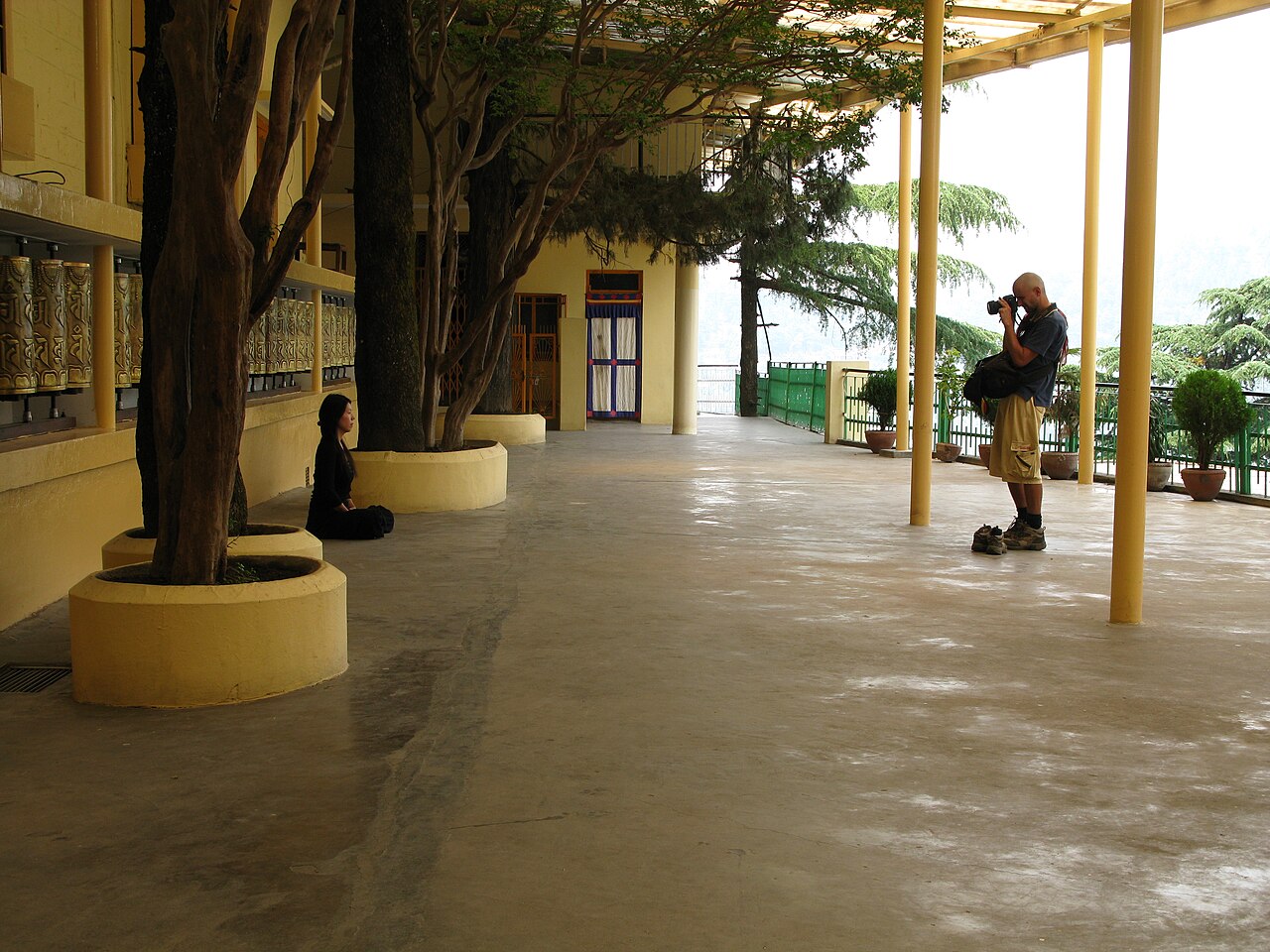
Tsuglagkhang Complex
Tsuglagkhang Complex occupies the terminus of Temple Road in McLeod Ganj and functions as the residence compound and central place of worship for the…
1.5 hrs
 3निःशुल्क प्रवेश
मठ
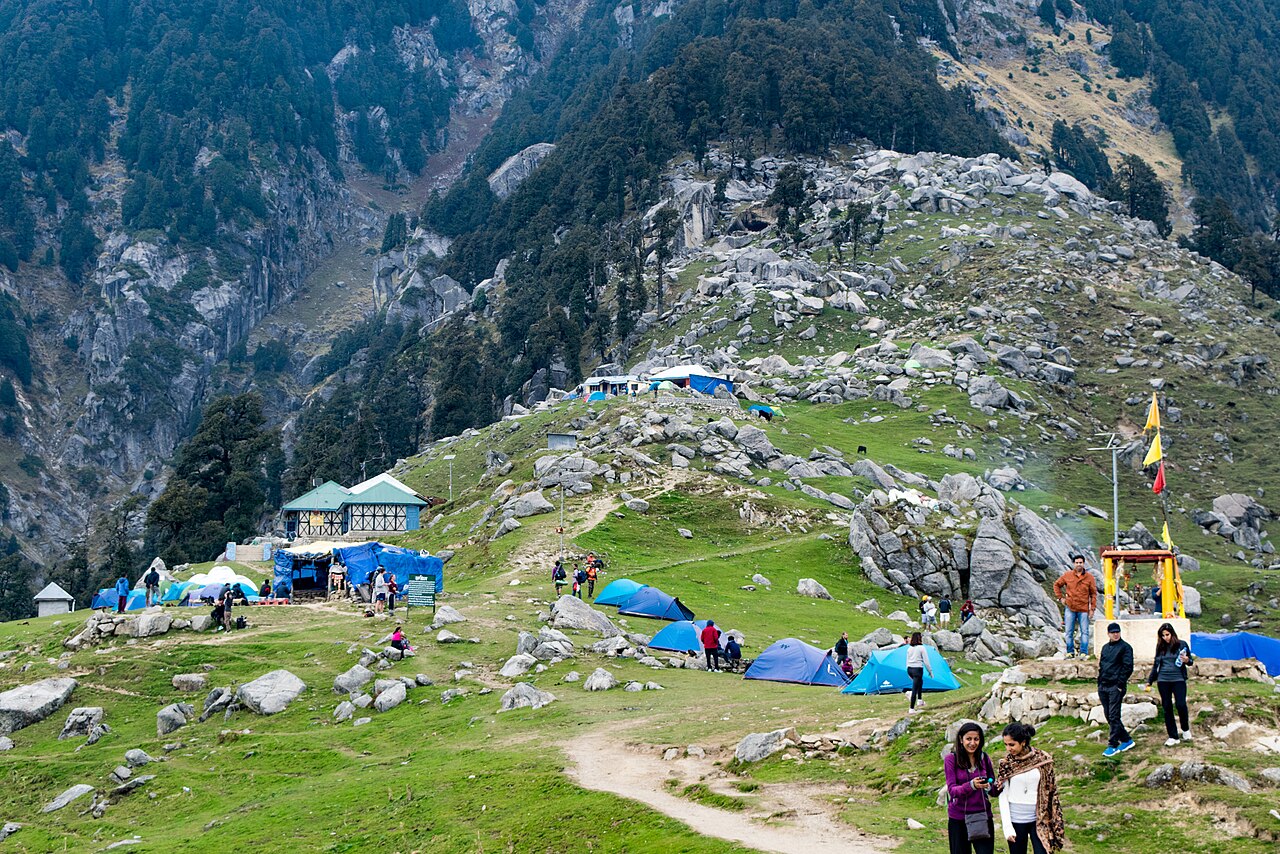
Namgyal Monastery
Namgyal Monastery re-established itself in McLeod Ganj in 1959–60 as the personal monastery of the 14th Dalai Lama, after the Second Dalai Lama first…
1 hr
 4
4प्राकृतिक स्थल
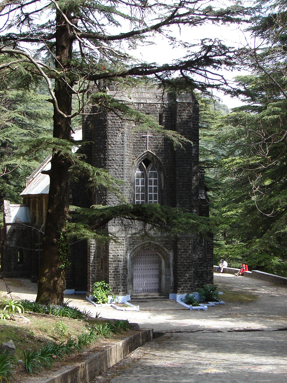
Triund Trek
Triund is a grassy ridge at roughly 2,850 metres on the southern face of the Dhauladhar range, reached by a 9–11 km trail that climbs from McLeod…
8 hrs₹100
 5निःशुल्क प्रवेश
चर्च
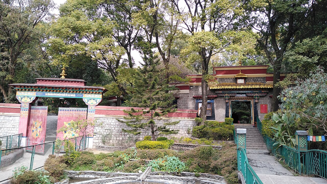
St. John in the Wilderness Church
St. John in the Wilderness Church stands in a deodar forest at Forsyth Ganj, on the road between lower Dharamshala and McLeod Ganj, and was built in…
45 min
 6
6संग्रहालय
Norbulingka Institute
Norbulingka Institute occupies a Japanese-influenced garden campus at Sidhpur, roughly 7–8 km from Dharamshala's lower town and about 10–12 km from…
2 hrs₹50 भारतीय
 7
7विरासत
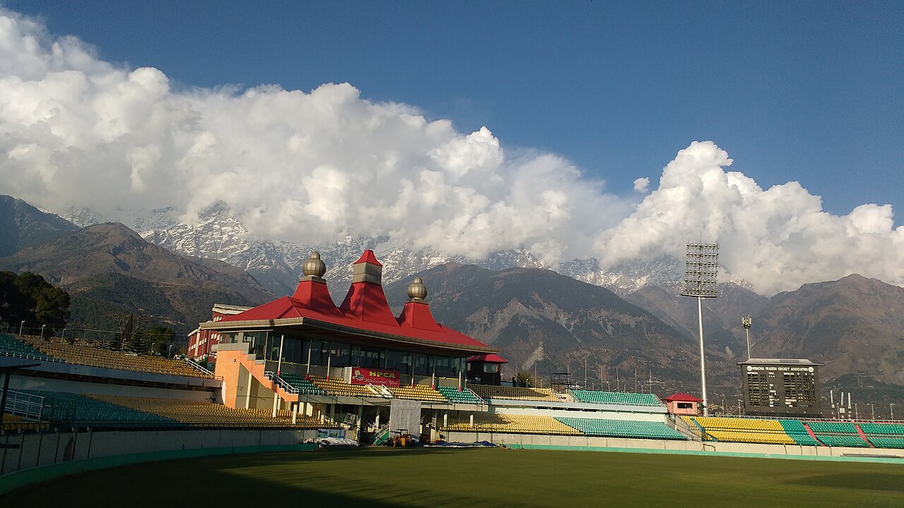
Dharamshala Cricket Stadium
Dharamshala Cricket Stadium sits at 1,457 metres above sea level in the Tapovan area of lower Dharamshala, making it the highest-altitude…
1 hr₹30
 8
8क़िला
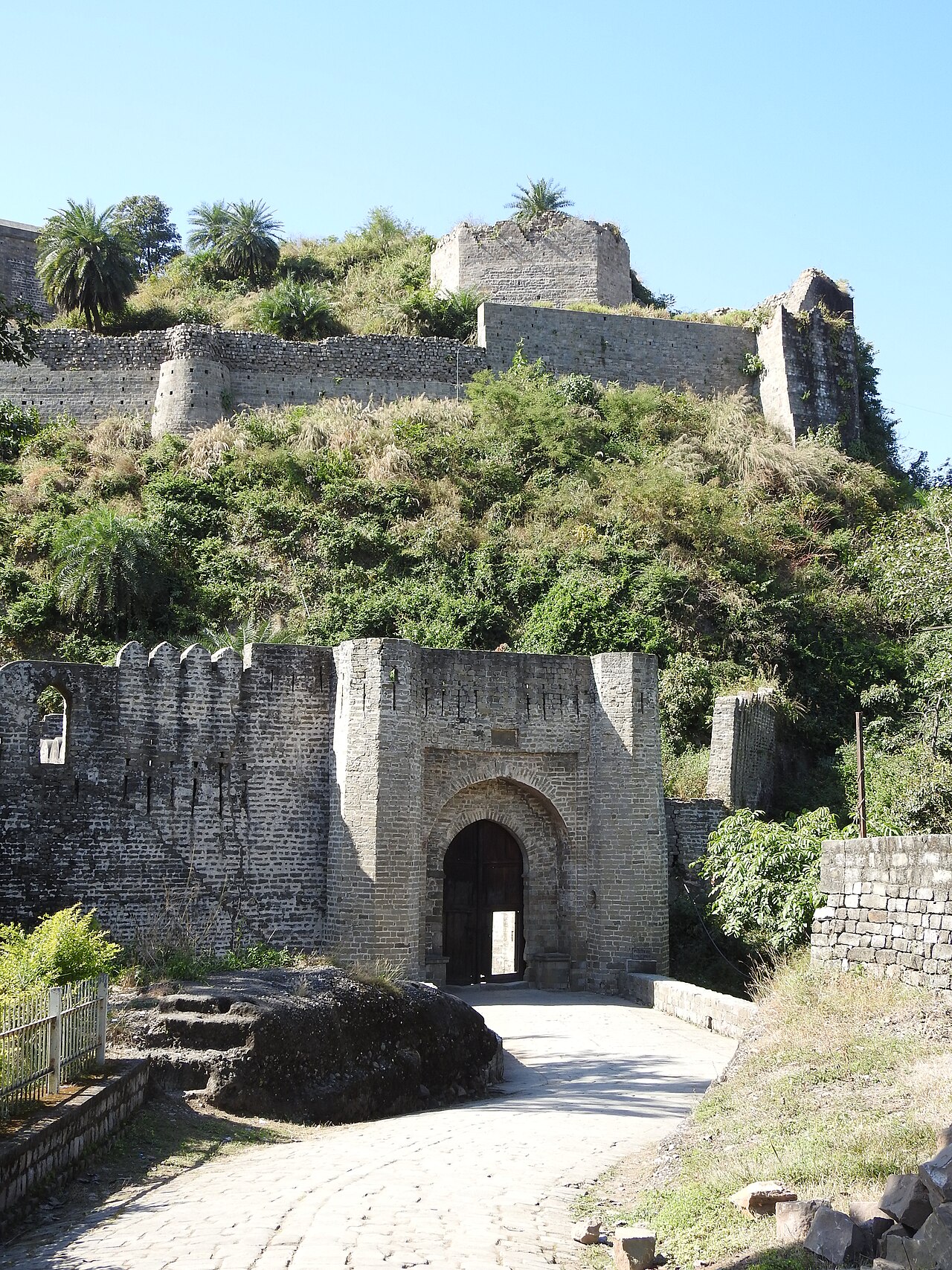
Kangra Fort
Kangra Fort stands on a rocky spur at the confluence of the Banganga and Patal Ganga rivers, roughly 18–20 km from Dharamshala and McLeod Ganj, and…
2 hrs₹25 भारतीय
Dharamshala में घूमने की जगहों का मानचित्र
संख्याएं रैंकिंग दर्शाती हैं; टॉप 3 नारंगी रंग में हैं। गाइड के लिए किसी पिन पर टैप करें। 1 जगह(ओं) की मानचित्र स्थिति अभी उपलब्ध नहीं है।
Dharamshala से डे ट्रिप
अगर एक दिन बचा हो तो घूमने लायक, सबसे नज़दीक वाला पहले।
15 km · 30–40m
Shri Chamunda Nandikeshwar Dham (Chamunda Devi Temple)
One of the most visited Devi shrines in the Kangra Valley, set on the Baner river, and an easy half-day add-on given its short distance from Dharamshala.
35 km · 1h
Palampur Tea Gardens
The only tea-growing region in North India outside Darjeeling and Assam, with working estates open for walk-through visits and factory tours amid Dhauladhar backdrops.
40 km · 1h 30m
Masroor Rock Cut Temples
Monolithic sandstone temples carved directly from a single rock outcrop, in the Indo-Aryan Nagara style, comparable in construction technique to Ellora though far smaller in scale and largely damaged by the 1905 earthquake.
62 km · 1h 45m
Pong Dam (Pong Lake Wildlife Sanctuary)
A Ramsar-listed wetland reservoir on the Beas river drawing migratory bar-headed geese and other waterfowl in large numbers between November and March.
Dharamshala के बारे में
The two halves function almost as separate towns: lower Dharamshala carries the district courts, the HPCA cricket stadium, and the main bus stand, while McLeod Ganj carries the Tsuglagkhang temple complex, Namgyal Monastery, and the bulk of the Tibetan bazaar economy that gives the hill station its nickname, Little Lhasa.
The 1905 Kangra earthquake killed roughly 1,625 people in the area and destroyed much of the town's original colonial-era architecture, which is why surviving British-built structures — the HPCA Stadium's neighbourhood aside — cluster mainly around the 1852-built St. John in the Wilderness Church at Forsyth Ganj, on the road connecting the two halves of town. Kangra Airport at Gaggal, roughly 15–20 km from either half of Dharamshala, handles daily flights to Delhi and Chandigarh; the nearest broad-gauge rail terminus is Pathankot Junction, some 85–90 km away, while the narrow-gauge Kangra Valley line runs a slower, scenic alternative closer to town.
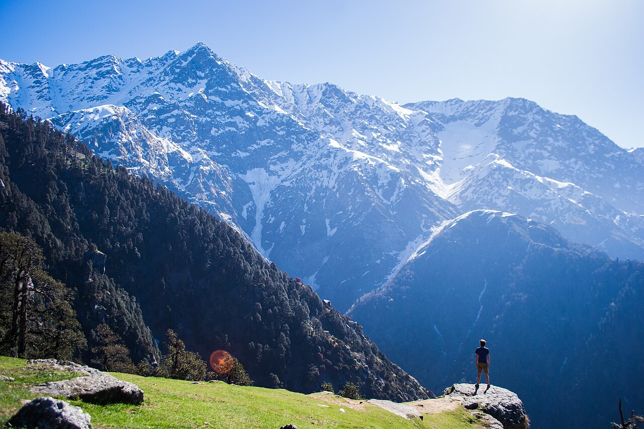
March through June and September through November give the clearest Dhauladhar views and the most stable trekking conditions for Triund; the July–August monsoon brings heavy rain and landslide risk on the upper roads, while December–February is cold enough at McLeod Ganj's altitude to close the higher trekking routes with snow.
कुछ गलत लगा, या कोई जगह छूट गई?
हमें बताएं, एक संपादक आधिकारिक स्रोतों से जांच कर पेज ठीक करेगा।