Reiseführer Kerala
Top 10 Orte in Munnar
Auch bekannt als Munnaar · Kannan Devan Hills
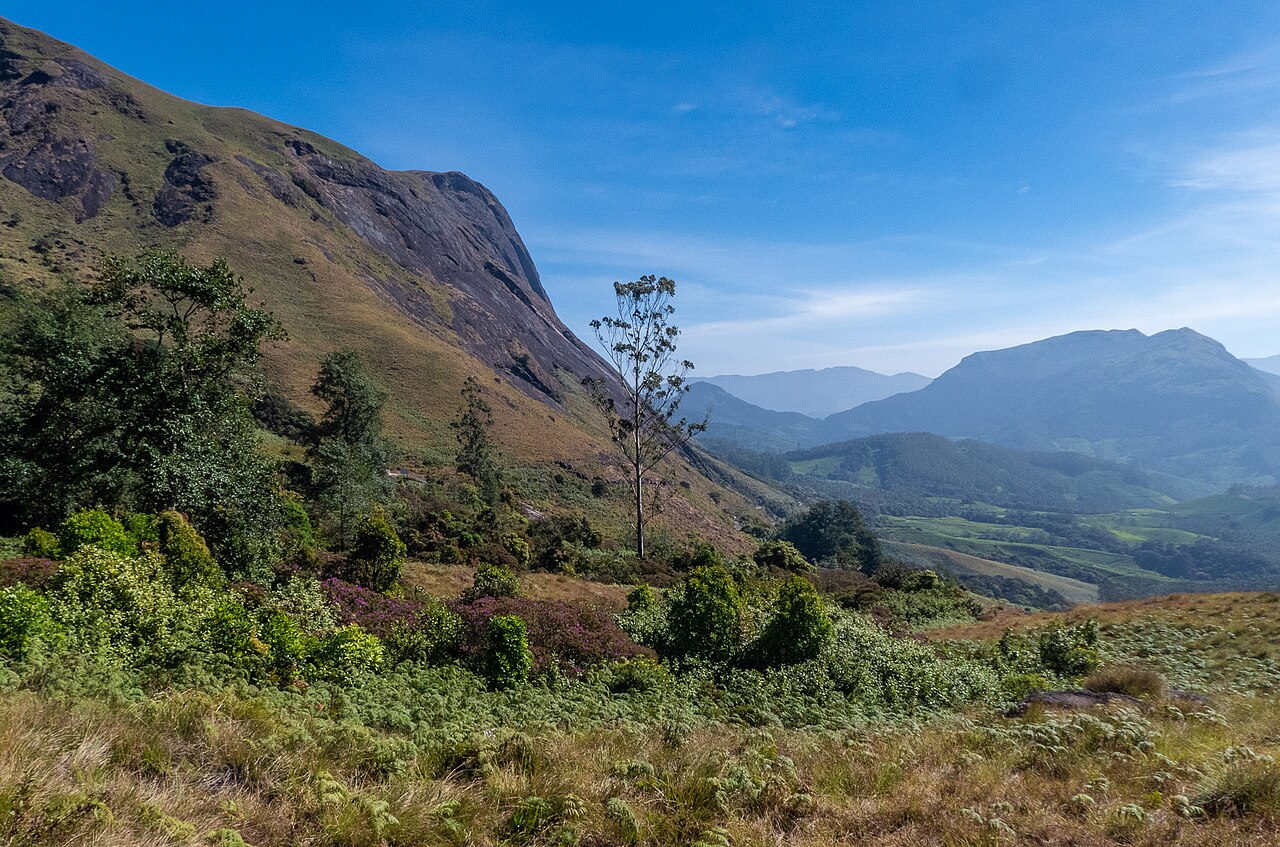
Munnar takes its name from the confluence of three mountain streams — the Muthirapuzha, Nallathanni, and Kundala — which meet just below the town at roughly 1,600 metres in the Western Ghats' Cardamom Hills.
Aktualisiert am ·Erstellt von Traveliac, KI-unterstützt ·Unsere Bewertung
- Beste Zeit
- Oct – Mar
- Benötigte Zeit
- Etwa 2 Tage
- 9 Stunden Besichtigung
- Zielflughafen
- Cochin International Airport (COK)
- Nächste Station
- Aluva Railway Station (AWY)
- Freier Eintritt
- 5 von 10
Top-Aktivitäten in Munnar
Bewertet nach fünf veröffentlichten Kriterien- 1
Wildpark
Eravikulam National Park
Eravikulam National Park charges ₹200 for Indian visitors and ₹500 for foreign nationals as of 2026, and closes to the public entirely for 45 to 60…
2.5 hrs₹200 für Inder
 2
2Natur
Top Station
Top Station sits at roughly 1,700–1,900 metres elevation on the Kerala–Tamil Nadu border, about 32 kilometres from Munnar town and a full hour's…
1 hr₹20
 3
3Natur
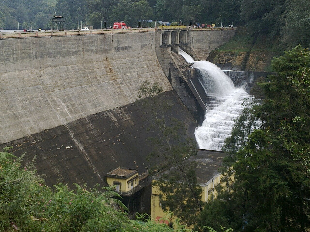
Mattupetty Dam
Mattupetty Dam holds back a reservoir at roughly 1,700 metres elevation, 13 kilometres from Munnar town on the road toward Top Station, and charges…
1 hr₹10
 4
4Museum
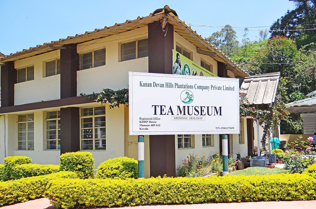
KDHP Tea Museum
The KDHP Tea Museum charges roughly ₹75 for Indian adults and ₹35 for children as of 2026, and stands on the Nallathanni Estate about 2 kilometres…
1 hr₹75 für Inder
 5Freier Eintritt
Wildpark
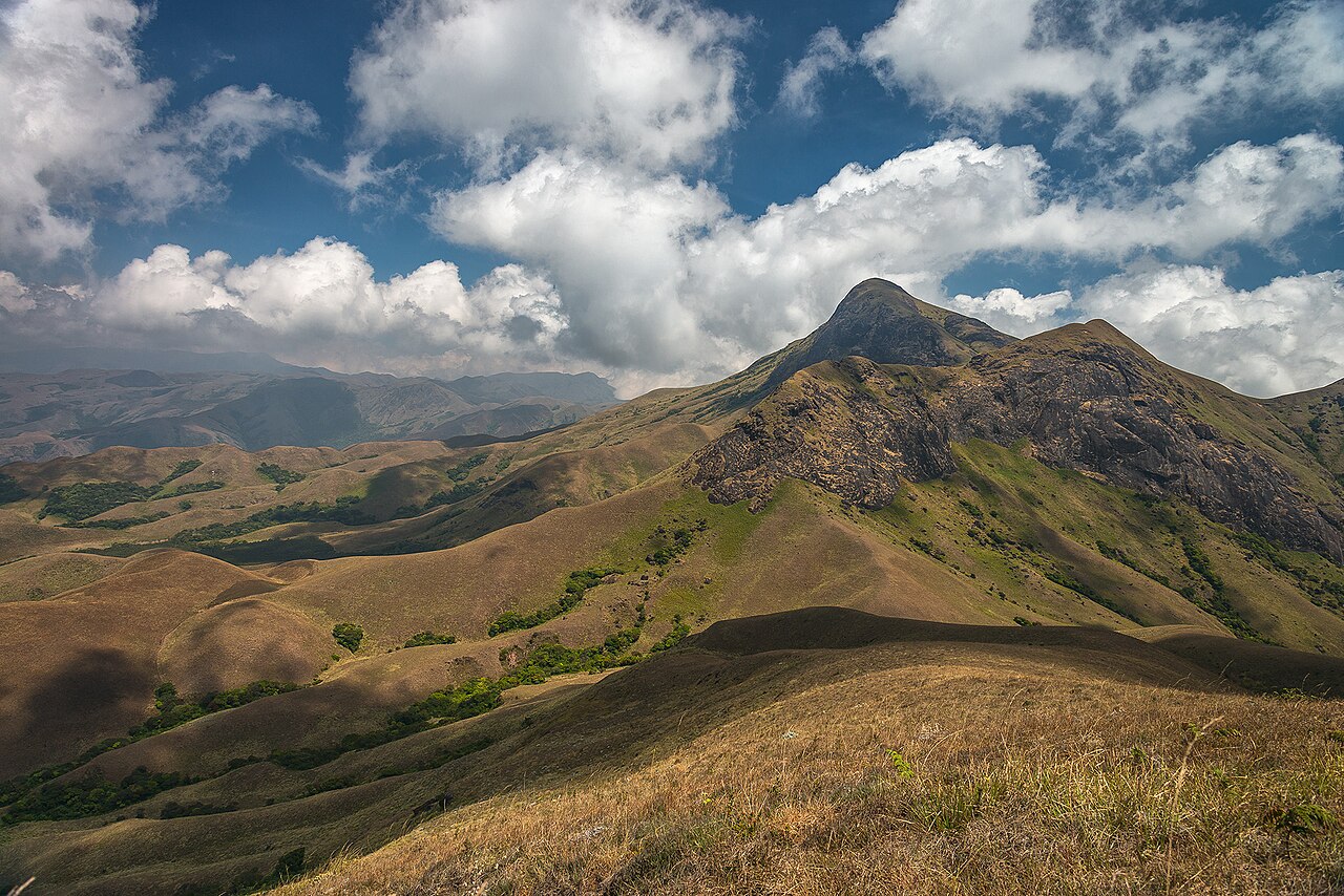
Anamudi Peak
Anamudi rises 2,695 metres above sea level at the junction of the Cardamom, Anaimalai, and Palani hill ranges, making it the highest point in South…
1 hr
 6Freier Eintritt
Natur
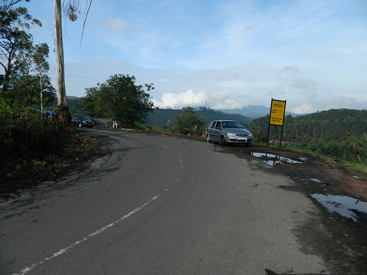
Photo Point
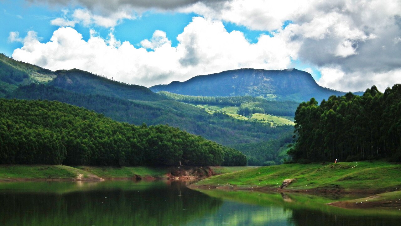
Photo Point sits roughly 3 to 4 kilometres from Munnar town on the road to Mattupetty Dam, a stretch where Kannan Devan Hills Plantations tea rows…
20 min
 7
7Natur
Echo Point
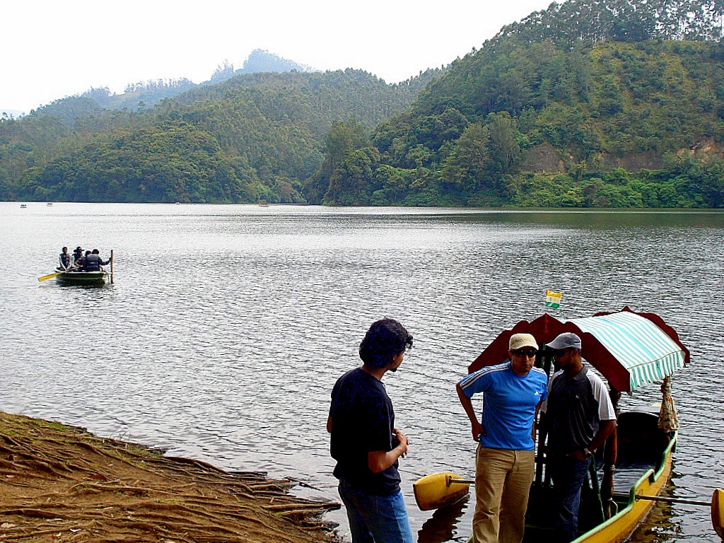
Echo Point sits roughly 15 kilometres from Munnar town on the road toward Top Station, at a bend where the backwaters of Mattupetty Dam pool against…
30 min₹20
 8Freier Eintritt
See
Kundala Lake
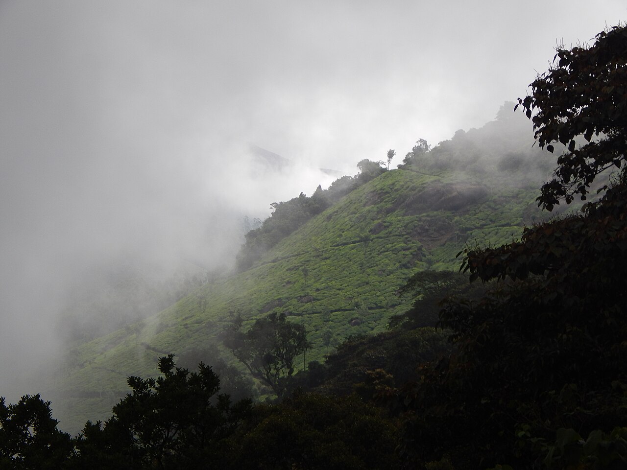
Kundala Lake formed behind a dam built in 1946 for the Pallivasal Hydro Electric Project, making it one of the older engineered reservoirs in the…
1 hr
 9Freier Eintritt
Aussichtspunkt
Pothamedu Viewpoint
Pothamedu Viewpoint sits about 4.5 kilometres from Munnar town on the road toward Kumily and Thekkady, a free roadside pull-off that looks out over…
30 min
 10Freier Eintritt
Wasserfall
Attukad Waterfalls
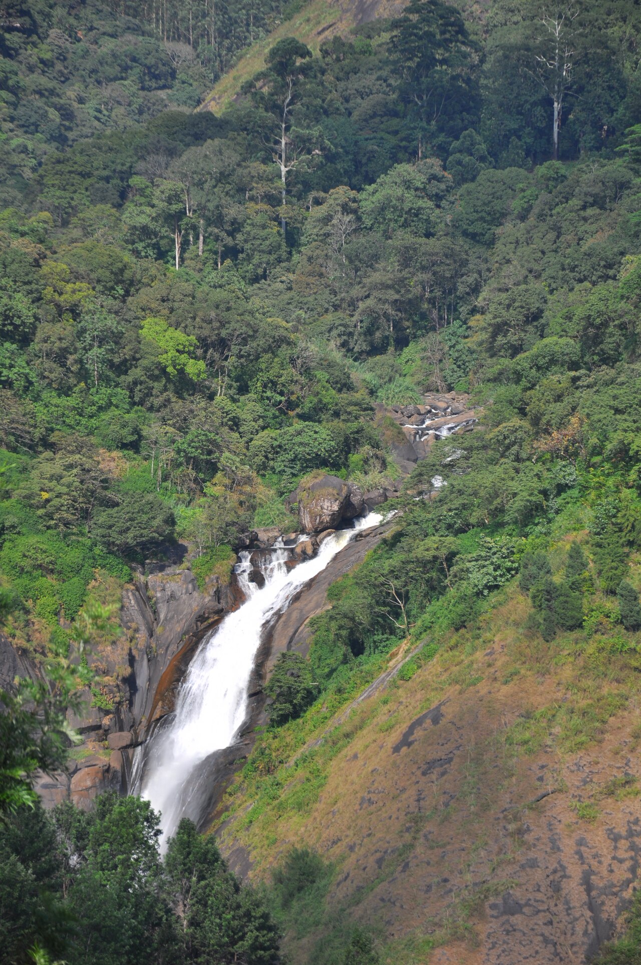
Attukad Waterfalls drops across multiple rock tiers roughly 8 to 9 kilometres from Munnar town on the road toward Pallivasal, with no entry fee…
30 min
Karte der Orte in Munnar
Die Zahlen entsprechen der Rangfolge; die Top 3 sind orange markiert. Für den Reiseführer auf eine Markierung tippen. 2 Ort(e) haben noch keine Position auf der Karte.
Tagesausflüge ab Munnar
Lohnt sich, wenn noch ein Tag übrig ist — die nächstgelegenen zuerst.
20 km · 40m
Chinnakanal (Power House and Rhodo Valley waterfalls)
A cluster of accessible waterfalls and the Kerala Forest Department's Rose Valley trekking trail, closer and less crowded than the main Munnar sightseeing circuit.
25 km · 45m
Anayirangal Dam and Reservoir
A quieter reservoir circuit near Marayoor with orange and vegetable cultivation replacing tea on the surrounding slopes, popular for its comparative lack of tour traffic.
40 km · 1h 15m
Marayoor
Kerala's only sandalwood forest reserve, alongside 2,000-year-old megalithic dolmens (muniyaras) and prehistoric rock art, a sharply different landscape from Munnar's tea hills.
90 km · 3h
Thekkady / Periyar Tiger Reserve
Boat safaris on the Periyar reservoir and spice-plantation tours through cardamom, pepper, and clove estates in a wildlife sanctuary distinct from Munnar's high-altitude tahr habitat.
Über Munnar
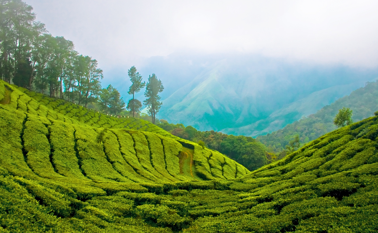
The town itself grew almost entirely around a single industry: British planters cleared the surrounding shola-grassland from the 1880s onward to build one of India's largest contiguous tea plantations, and the Kannan Devan Hills Plantations Company that manages most of that land today, now majority employee-owned, still shapes the local economy more than tourism does, despite Munnar's reputation as a hill-station destination.
The town has no railway station or airport of its own; Cochin International Airport, roughly 110–145 kilometres away depending on the specific site being visited, and Aluva Railway Station at a similar distance are the standard gateways, connected to Munnar by a winding ghat road that climbs steadily through Neriamangalam and Adimali. Most visitors base themselves in Munnar town and radiate out on day trips along two main routes: the Top Station road running northeast through Mattupetty Dam, Echo Point, and Kundala Lake toward the Tamil Nadu border, and the Eravikulam/Thekkady-facing routes running south and east past Rajamalai and Pothamedu.
The town centre itself is compact and functional rather than picturesque — a market street, a bus stand, and a cluster of hotels — with the scenery concentrated in the surrounding tea-estate hills rather than within the built-up area. Weather is the dominant planning factor: the southwest monsoon from June through September brings heavy, sustained rain that can close roads temporarily, while November through February gives the clearest skies and coolest air, and April through May turns notably warmer even at altitude before the monsoon returns.
Etwas stimmt nicht, oder ein Ort fehlt?
Sag uns Bescheid — eine Redaktion prüft es anhand offizieller Quellen und korrigiert die Seite.