
Anamudi Peak
#5de 10 lugares para visitar en MunnarMunnar, Kerala
También conocido como Anaimudi · Elephant's Head Peak
Respuesta rápida
Horario: 08:00–14:00. La entrada es gratuita. Calcula 1 hr. Mejor momento: 08:00 – 10:00 from the Rajamalai viewing track.
Actualizado el · Redactado por Traveliac, con ayuda de IA · 4 min de lectura
- Horario
- 08:00–14:00
- The peak itself is not open on a fixed public schedule. The Rajamalai viewpoint inside Eravikulam National Park, from which Anamudi is seen at a distance, keeps the park's standard 08:00–14:00 entry hours.
- Precio de entrada
- Gratis
- Tiempo necesario
- 1 hr
- Mejor momento del día
- 08:00 – 10:00 from the Rajamalai viewing track
- Mejores meses
- Oct – Mar
- Dirección
- Southern zone, Eravikulam National Park, Rajamala, Munnar, Idukki district, Kerala 685612
Sobre Anamudi Peak
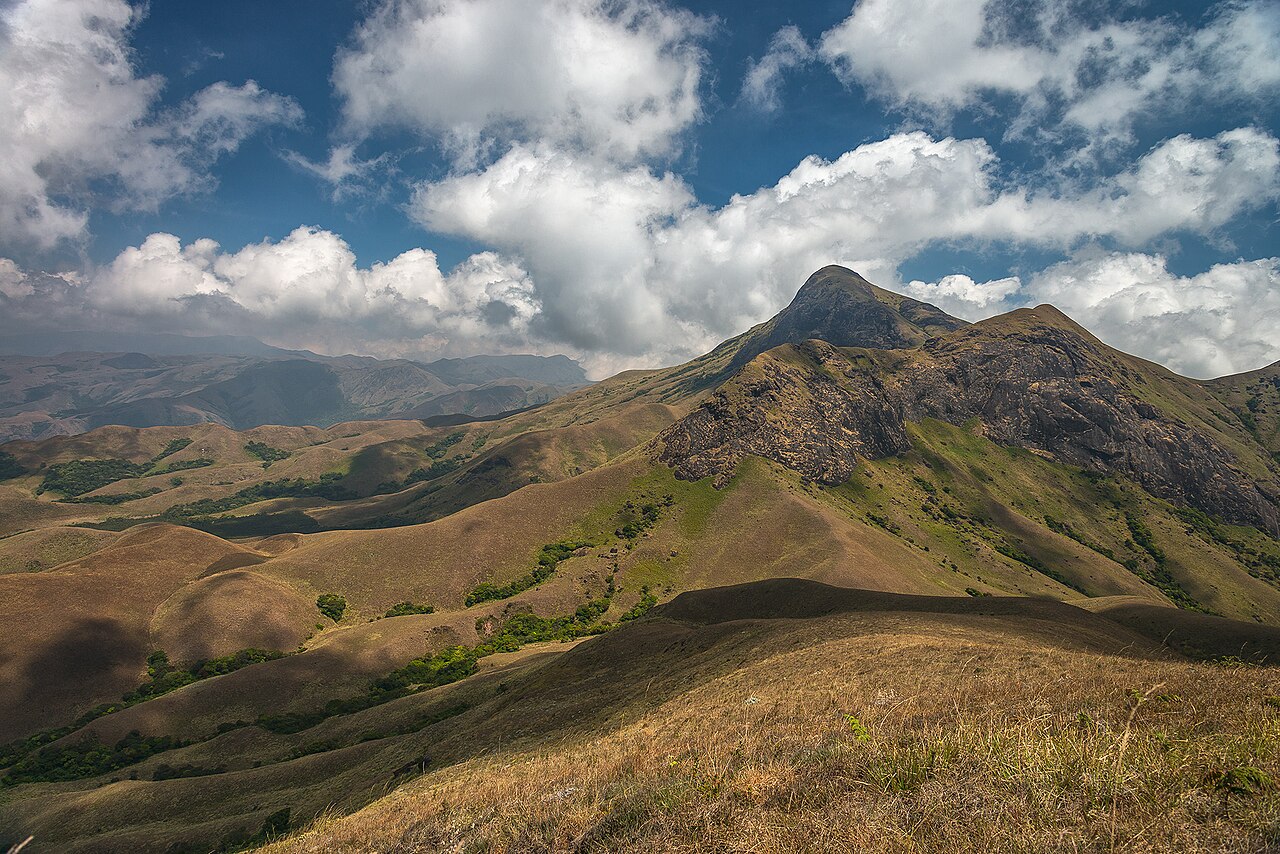
Anamudi rises 2,695 metres above sea level at the junction of the Cardamom, Anaimalai, and Palani hill ranges, making it the highest point in South India and in the entire Western Ghats. The name translates roughly from Malayalam as 'elephant's forehead,' a reference to the rounded granite dome that dominates the skyline south of Rajamalai. Unlike most named peaks that appear on a Munnar itinerary, Anamudi is not a place tourists walk up to; the summit lies inside the ecologically sensitive core zone of Eravikulam National Park, and the Kerala Forest Department restricts unescorted trekking there to protect the shola-grassland habitat and the Nilgiri tahr population that depends on it. Most visitors experience Anamudi as a silhouette rather than a summit, viewed from the paved Rajamalai walking loop roughly 5 kilometres to its north, or from Pothamedu and Top Station on especially clear mornings. The rock itself is charnockite, a coarse metamorphic granite typical of the southern Western Ghats, weathered into the smooth dome shape that gives the peak its profile from a distance.
Mejor momento del día: 08:00 – 10:00 from the Rajamalai viewing track. Before haze builds up over the Cardamom and Anaimalai hill junction later in the day.
Horario de Anamudi Peak
Anamudi Peak abre a las 08:00 y cierra a las 14:00. Mantiene el mismo horario los sábados y domingos.
- Horario
- 08:00–14:00
Mon–Sun 08:00–14:00 - The peak itself is not open on a fixed public schedule. The Rajamalai viewpoint inside Eravikulam National Park, from which Anamudi is seen at a distance, keeps the park's standard 08:00–14:00 entry hours.
- Cierra los
- Abierto todos los días
Horario recopilados de eravikulamnationalpark.in y registros públicos, última actualización el . Pueden cambiar sin previo aviso — confírmalos antes de viajar. Cómo escribimos estas guías
Precio de entrada de Anamudi Peak
| Entrada | Precio |
|---|---|
| Visitantes indios | Gratis |
| Visitantes extranjeros | Gratis |
| Niños | Gratis |
| Cámara | Gratis |
No standard visitor ticket exists because the summit sits in the core zone of Eravikulam National Park, where general trekking is prohibited. Occasional guided ascents run only with written Kerala Forest Department permission, arranged in advance through the park office at Rajamala; as of 2026, fees and availability are set case by case, so verify directly with the Forest Department rather than a tour operator.
Precios recopilados de eravikulamnationalpark.in y registros públicos, última actualización el . Pueden cambiar sin previo aviso — confírmalos antes de viajar. Cómo escribimos estas guías
Mejor época para visitar Anamudi Peak
- Quiet
- Busy
- Very busy
08:00 – 09:30
Clearest ViewsBest time to go
Rajamalai viewpoint is quietest and haze has not yet formed over the hill junction, giving the sharpest sightline to the peak.
Quiet09:30 – 12:00
Tour Group Peak
Coach parties fill the Rajamalai loop trail; the viewpoint area gets crowded even though the peak itself sees no foot traffic.
Very busy12:00 – 14:00
Building Haze
Afternoon cloud frequently builds around the Cardamom–Anaimalai junction, obscuring the summit even on otherwise clear days.
Busy14:00 onward
Viewpoint Closed
Eravikulam National Park stops fresh entries at 14:00, closing off the main public vantage point for the day.
Quiet
Historia de Anamudi Peak
British surveyors mapping the Kannan Devan Hills in the 1870s recorded Anamudi's height using triangulation instruments that are, remarkably, still close to the modern GPS-verified figure of 2,695 metres. The peak's inaccessibility kept it largely free of the plantation clearing that transformed the surrounding hills into tea estates from the 1880s onward, since the terrain above 2,000 metres was too exposed and rocky for commercial cultivation.
Formal trekking expeditions to the summit were more common before Eravikulam's 1978 National Park notification tightened access; mountaineering clubs from Kerala and Tamil Nadu organised sanctioned climbs through the 1960s and 70s. Since the park's core zone was locked down for conservation, ascents have been reserved almost entirely for Forest Department research teams conducting tahr population surveys, with occasional exceptions granted to organised groups holding advance written permission.
Normas y etiqueta en Anamudi Peak
Independent trekking to Anamudi's summit is not permitted under any circumstances, and forest guards at the Eravikulam gate turn back visitors who ask to arrange an unofficial guide for the climb. Anyone with a genuine research or documented mountaineering interest must apply in writing to the Forest Department office at Rajamala well in advance of a visit; approval is neither quick nor guaranteed.
At the Rajamalai viewpoint, where most people actually see the peak, standard park rules apply — stay on the paved loop trail, do not approach the tahr for a closer photo angle, and keep to the posted viewing hours between 08:00 and 14:00 entry.
Consejos para visitar Anamudi Peak
- 1
Set expectations before travelling: a 'visit' to Anamudi in practice means viewing the peak from a distance inside Eravikulam National Park, not standing on its summit. Arrive at Rajamalai in the first hour after the 08:00 opening, when the air is clearest and cloud has not yet built up around the higher ridgelines.
- 2
Photographers get a second, less crowded angle from Pothamedu Viewpoint on the Munnar–Thekkady road, where Anamudi appears as a distant grey shoulder above the tea and cardamom slopes on cloud-free mornings, typically October through February. Carrying binoculars adds meaningfully to the experience given the distance involved from every publicly accessible vantage point.
Cómo llegar a Anamudi Peak
La estrella roja es Anamudi Peak; los pines numerados son los 6 lugares más cercanos de nuestras guías, cada uno con su clasificación en su ciudad. Toca un pin para ver más detalles.
Southern zone, Eravikulam National Park, Rajamala, Munnar, Idukki district, Kerala 685612Cómo llegar en Google Maps
Desde Munnar town (bus stand)
₹350–₹50015 km · 30–40 min
Round-trip taxi to the park gate, then the compulsory shuttle bus).
Desde Cochin International Airport (COK)
₹2,800–₹3,800115 km · 3.5–4 hours
Prepaid taxi).
Desde Pothamedu Viewpoint
₹300–₹45012 km · 25–30 min
Taxi one-way, often combined with the Munnar–Thekkady road sightseeing run).
Aeropuerto más cercano
Desde Cochin International Airport (COK)
approximately 115 km, 3.5–4 hours by road.
Estación de tren más cercana
Desde Aluva Railway Station (AWY)
approximately 110 km, 3–3.5 hours by road.
Preguntas frecuentes sobre Anamudi Peak
Can tourists trek to the summit of Anamudi?
No, not under normal circumstances. The summit lies in the core conservation zone of Eravikulam National Park, and the Kerala Forest Department restricts ascents to research teams and rare pre-approved expeditions arranged in writing well in advance. General tourists cannot arrange a summit trek on the spot.
Where can visitors see Anamudi if they cannot climb it?
The Rajamalai viewing loop inside Eravikulam National Park, roughly 5 kilometres north of the peak, is the main public vantage point. Pothamedu Viewpoint on the Munnar–Thekkady road offers a second, more distant angle on especially clear mornings.
How tall is Anamudi and why does its height matter regionally?
Anamudi stands 2,695 metres above sea level, making it the highest peak in both the Western Ghats mountain range and all of South India. Its height and rock composition, a weathered charnockite dome, give it a distinct silhouette compared to the surrounding rounded shola-grassland hills.
Is there an entry fee to view Anamudi?
There is no separate ticket for Anamudi itself. Viewing it from Rajamalai requires the standard Eravikulam National Park entry fee of ₹200 for Indian nationals and ₹500 for foreign nationals as of 2026, plus the compulsory shuttle bus ticket sold at the park gate.
Redactado con ayuda de IA a partir de fuentes oficiales y registros públicos, y publicado solo tras las comprobaciones descritas en Cómo escribimos estas guías. Nadie de Traveliac ha visitado este lugar. Última actualización el . Cómo clasificamos y verificamos los lugares
Lugares para visitar cerca de Anamudi Peak
Distancias en línea recta según nuestro mapa; los tiempos son estimados.
 #1 in Munnar
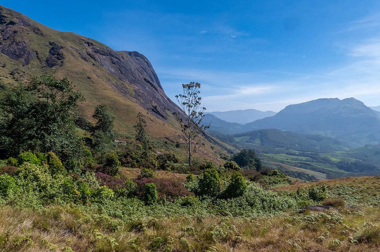
Eravikulam National Park
Fauna · 4 km · about 15 min by road
 #4 in Munnar
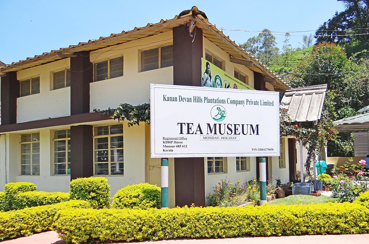
KDHP Tea Museum
Museo · 8 km · about 25 min by road
 #6 in MunnarEntrada gratuita
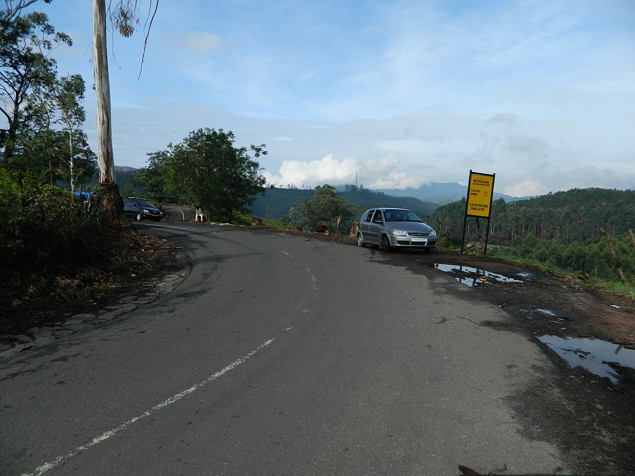
Photo Point
Naturaleza · 9 km · about 30 min by road
 #3 in Munnar
Mattupetty Dam
Naturaleza · 10 km · about 30 min by road