
Photo Point
#6von 10 Orten zum Besuchen in MunnarMunnar, Kerala
Auch bekannt als Tea Garden Photo Point
Kurz gesagt
Öffnungszeiten: 06:00–18:00. Der Eintritt ist kostenlos. Plane 20 min ein. Beste Zeit: 07:00 – 09:00.
Aktualisiert am · Erstellt von Traveliac, KI-unterstützt · 4 Min. Lesezeit
- Öffnungszeiten
- 06:00–18:00
- 06:00 – 18:00 (unstaffed roadside stop, no fixed gate hours)
- Eintrittspreis
- Kostenlos
- Benötigte Zeit
- 20 min
- Beste Tageszeit
- 07:00 – 09:00
- Beste Monate
- Oct – Mar
- Adresse
- Mattupetty Road, Munnar, Idukki district, Kerala 685612
Über Photo Point
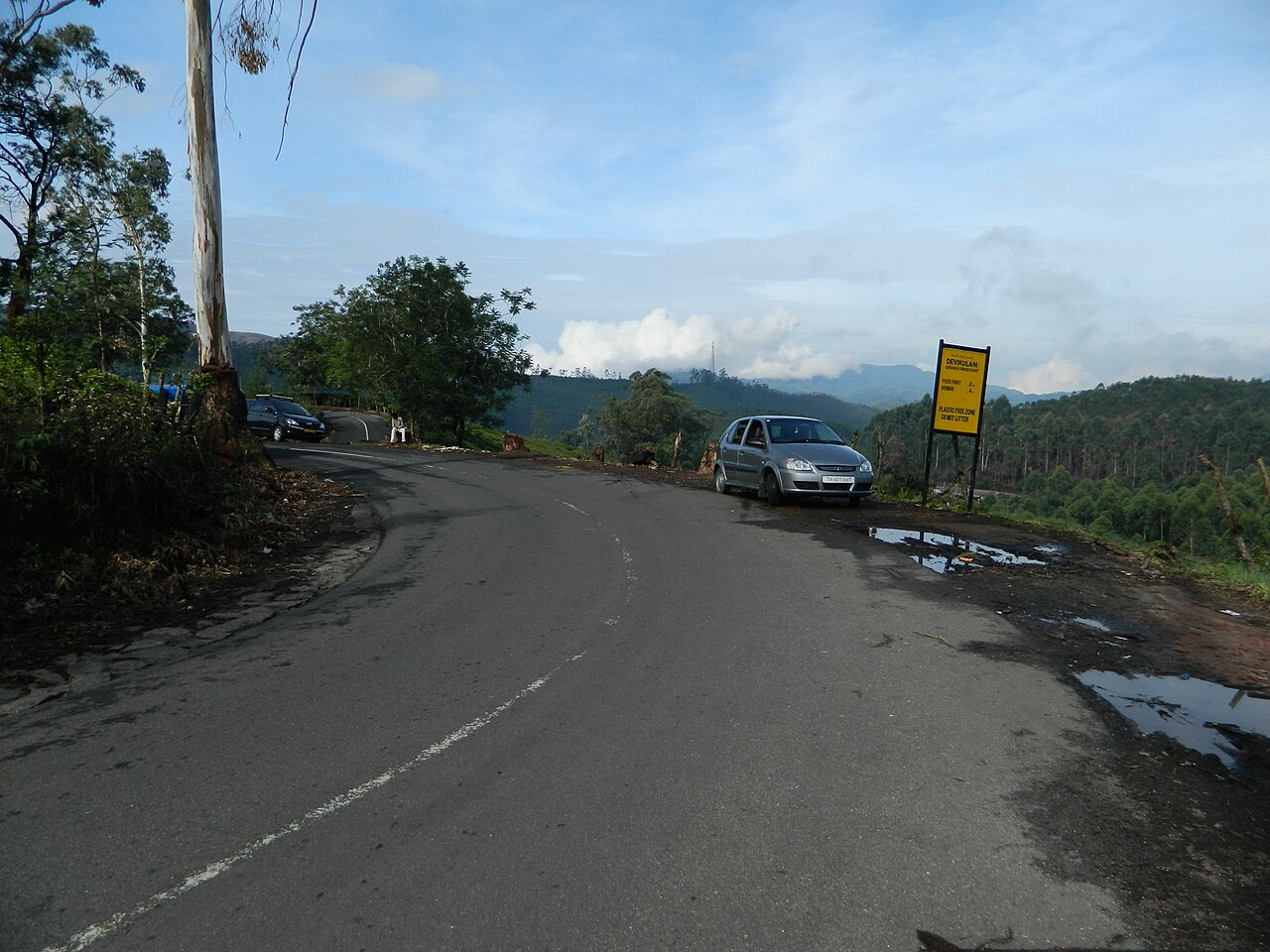
Photo Point sits roughly 3 to 4 kilometres from Munnar town on the road to Mattupetty Dam, a stretch where Kannan Devan Hills Plantations tea rows run directly up to the tarmac on both sides with no entry fee to stop and look. The name is functional rather than official — every taxi driver and tour itinerary in Munnar calls this particular bend Photo Point because the combination of close-up tea bushes, a folding valley behind them, and easy roadside parking makes it the most photographed single stretch of plantation in the area. Unlike Munnar's ticketed sights, there is no gate, counter, or fixed opening hour here; it is simply a wide shoulder on a public road running through private tea estate land. Visitors are free to walk along the marked edge of the plantation for photographs but are not permitted to wander into the growing rows themselves, since the tea bushes are actively harvested KDHP crop rather than an ornamental garden.
Beste Tageszeit: 07:00 – 09:00. When low sun rakes across the tea rows and mist often still sits in the valley folds below.
Öffnungszeiten von Photo Point
Photo Point öffnet um 06:00 und schließt um 18:00. Diese Zeiten gelten auch samstags und sonntags.
- Öffnungszeiten
- 06:00–18:00
Mon–Sun 06:00–18:00 - 06:00 – 18:00 (unstaffed roadside stop, no fixed gate hours)
- Geschlossen an
- Täglich geöffnet
Öffnungszeiten zusammengestellt aus keralatourism.org und öffentlichen Quellen, zuletzt aktualisiert am . Sie können sich ohne Vorankündigung ändern — vor der Reise bitte bestätigen. Wie wir diese Reiseführer schreiben
Eintrittspreis für Photo Point
| Ticket | Preis |
|---|---|
| Indische Besucher | Kostenlos |
| Ausländische Besucher | Kostenlos |
| Kinder | Kostenlos |
| Kamera | Kostenlos |
Free to visit from the roadside. The tea garden itself is private KDHP plantation land; walking beyond the marked roadside strip into the rows is not permitted without estate authorisation.
Preise zusammengestellt aus keralatourism.org und öffentlichen Quellen, zuletzt aktualisiert am . Sie können sich ohne Vorankündigung ändern — vor der Reise bitte bestätigen. Wie wir diese Reiseführer schreiben
Beste Reisezeit für Photo Point
- Quiet
- Moderate
- Very busy
06:00 – 09:00
Early Morning LightBest time to go
Best light and mist conditions in the valley; few vehicles have started the day's sightseeing circuit yet.
Quiet09:00 – 13:00
Tour Circuit Peak
Munnar sightseeing taxis and buses en route to Mattupetty Dam stop here in volume; roadside parking fills and photo spots get shared.
Very busy13:00 – 16:00
Midday Lull
Traffic thins as tour groups continue further along the Mattupetty road or head back toward town for lunch.
Moderate16:00 – 18:00
Late Afternoon
Softer light returns as the sun lowers; a quieter second window for photography before dusk.
Quiet
Geschichte von Photo Point
Kannan Devan Hills Plantations Company has cultivated this stretch of the Mattupetty road corridor as working tea estate since the British planting era of the late 19th and early 20th centuries, decades before it acquired any tourism function. The estate boundary running directly against the public road is a product of how colonial-era land grants were surveyed in the High Range — plantation blocks were laid out to the road edge for ease of transport rather than with any buffer for future sightseers.
The spot's status as a named 'Photo Point' is a more recent, informal development, dating to the growth of Munnar's tourism economy from the 1980s and 90s onward, when taxi drivers and tour operators began standardising a circuit of named stops — this bend, being both scenic and easy to pull over at, became fixed in that circuit by word of mouth rather than any official designation.
Regeln & Etikette in Photo Point
Because Photo Point has no staff or gate, there is also no one to stop visitors from crossing into the tea rows, but doing so is trespassing on active KDHP plantation land and estate workers do ask people to step back onto the road shoulder when they notice it happening. Photographing pickers at work is generally tolerated at a respectful distance but asking first, where a picker is close enough to address directly, is the accepted courtesy locally.
Roadside parking is informal and can back up during peak tour-bus hours, since this is a functioning public road rather than a dedicated car park; vehicles should pull fully onto the shoulder rather than stopping in the traffic lane on the blind bends common along this stretch.
Tipps für den Besuch von Photo Point
- 1
Early morning light, before 09:00, gives the most dramatic contrast between the dark green tea rows and the mist that commonly sits in the valley folds below this stretch of road — arriving later in a clear midday sun flattens the same view considerably. Because there is no entry process, Photo Point works well as a five-minute stop tacked onto a longer Mattupetty Dam or Tea Museum outing rather than a destination in its own right.
- 2
The stretch gets crowded with tour vehicles between roughly 10:00 and 13:00 as the standard Munnar sightseeing circuit passes through; a quick stop outside that window, either early or in the late afternoon, gives a clearer run at the view without other tourists in every frame.
Anreise nach Photo Point
Der rote Stern zeigt Photo Point; die nummerierten Markierungen sind die 6 nächstgelegenen Orte aus unseren Reiseführern, jeweils mit ihrem Rang in der eigenen Stadt. Für Details auf eine Markierung tippen.
Mattupetty Road, Munnar, Idukki district, Kerala 685612Route in Google Maps
Ab Munnar town (bus stand)
₹100–₹1803 km · 10 min
Auto-rickshaw one-way); often included free as a stop on any taxi headed to Mattupetty Dam.
Ab KDHP Tea Museum
₹100–₹1803 km · 10 min
Auto-rickshaw), commonly combined into one outing.
Ab Mattupetty Dam
10 km · 18–20 min
Usually included in the same taxi fare as the onward journey.
Nächster Flughafen
Ab Cochin International Airport (COK)
approximately 112 km, 3.5 hours by road.
Nächster Bahnhof
Ab Aluva Railway Station (AWY)
approximately 107 km, 3–3.5 hours by road.
Häufige Fragen zu Photo Point
Is there an entry fee for Photo Point in Munnar?
No. Photo Point is an unfenced stretch of public road running alongside private tea estate land, with no gate, counter, or fixed opening hours. It costs nothing to stop and photograph the view from the roadside.
Can visitors walk into the tea gardens at Photo Point?
No, not officially. The tea bushes belong to Kannan Devan Hills Plantations Company and remain actively harvested crop rather than an ornamental garden; visitors are expected to stay on the marked roadside edge rather than walk into the growing rows.
What is the best time of day to photograph Photo Point?
Between 07:00 and 09:00. Low morning sun rakes across the tea rows and mist often still sits in the valley below, giving stronger contrast than the flatter light of midday.
How far is Photo Point from Munnar town and what is nearby?
Photo Point sits roughly 3 to 4 kilometres from Munnar town on the Mattupetty road, close enough to combine easily with the KDHP Tea Museum on one side and Mattupetty Dam roughly 10 kilometres further along the same route.
Mit KI-Unterstützung aus offiziellen Quellen und öffentlichen Aufzeichnungen erstellt und erst nach den Prüfungen veröffentlicht, die beschrieben sind unter Wie wir diese Reiseführer schreiben. Niemand von Traveliac war persönlich vor Ort. Zuletzt aktualisiert am . Wie wir Orte bewerten und prüfen
Orte in der Nähe von Photo Point
Luftlinien-Entfernungen laut unserer Karte; Zeiten sind Schätzwerte.
 #4 in Munnar
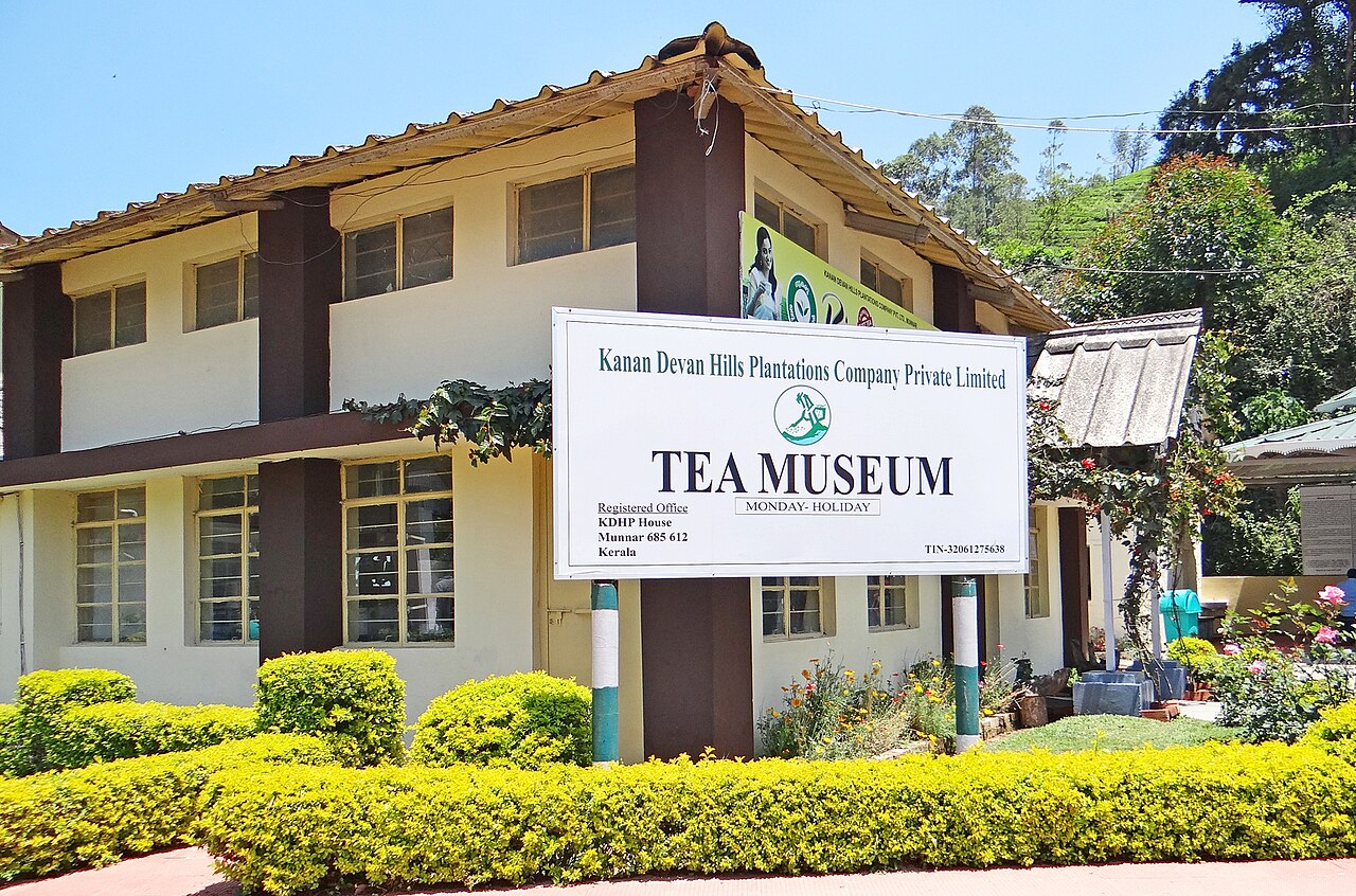
KDHP Tea Museum
Museum · 4 km · about 15 min by road
 #9 in MunnarFreier Eintritt
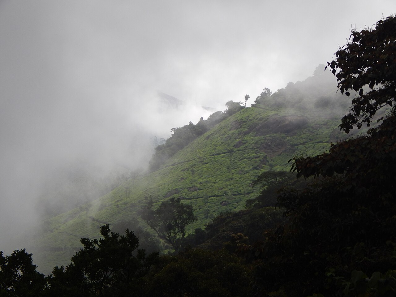
Pothamedu Viewpoint
Aussichtspunkt · 4 km · about 15 min by road
 #3 in Munnar
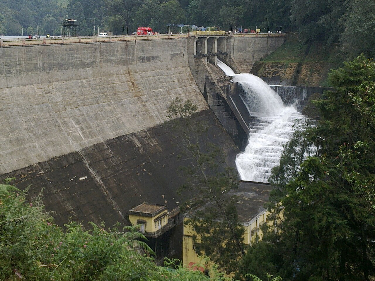
Mattupetty Dam
Natur · 4 km · about 15 min by road
 #7 in Munnar
Echo Point
Natur · 8 km · about 25 min by road