
Bandra Fort
#10of 10 places to visit in MumbaiMumbai, Maharashtra
Also known as Castella de Aguada · Land's End Fort
Quick answer
Opening hours: No fixed opening hours. Entry is free. Allow 45 min. Best time: 17:00 – 19:00.
Updated · Compiled by Traveliac, AI-assisted · 4 min read
- Opening hours
- No fixed hours
- Open 24 hours as part of the public promenade, though the fort platform itself is best visited in daylight; after dark it is used mainly as a local gathering spot rather than a lit viewpoint.
- Entry fee
- Free
- Time needed
- 45 min
- Best time of day
- 17:00 – 19:00
- Best months
- Oct – Mar
- Address
- Land's End, off Chapel Road, Bandra West, Mumbai, Maharashtra 400050
About Bandra Fort
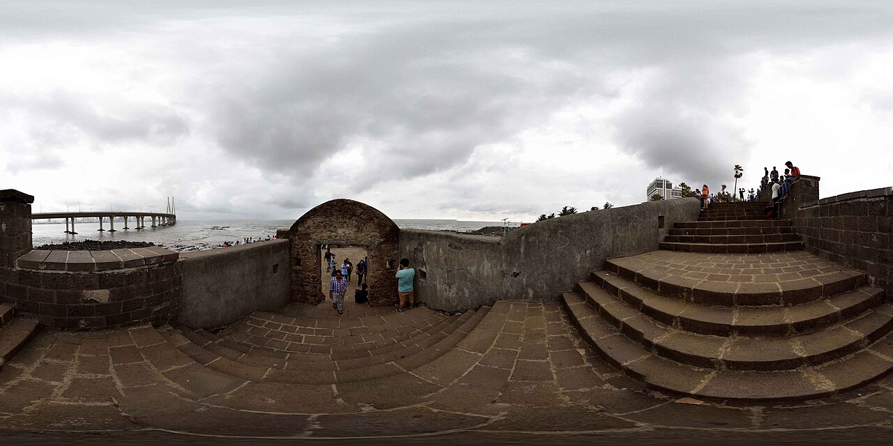
Bandra Fort is a low, roofless ruin of laterite and rubble stone perched on rocks at Land's End, the westernmost point of Bandra, and it is visited today less for the ruin itself — which is modest, partially reconstructed, and lacks the scale of Maharashtra's inland Maratha forts — than for what it looks out on: an uninterrupted view across the mouth of Mahim Bay to the Bandra-Worli Sea Link, the 5.6-kilometre cable-stayed bridge that opened in 2009 and remains one of the more photographed pieces of modern infrastructure in India. The fort's Portuguese name, Castella de Aguada, translates roughly as 'Fort of the Watering Place,' a reference to its original function guarding a freshwater spring that ships once used to replenish supplies before continuing along the coast.
Best time of day: 17:00 – 19:00. For sunset views across the mouth of Mahim Bay toward the Bandra-Worli Sea Link, with the cable-stayed towers and pylons backlit as the sun drops.
Bandra Fort timings
- Opening hours
- No fixed hours
Mon–Sun No fixed hours - Open 24 hours as part of the public promenade, though the fort platform itself is best visited in daylight; after dark it is used mainly as a local gathering spot rather than a lit viewpoint.
- Closed on
- Open every day
Good to know: No seasonal closure. Monsoon-season sea spray and swell (June–September) can make the seaward edges of the fort's rocks slippery and are best avoided at high tide during storm conditions.
Opening hours compiled from maharashtratourism.gov.in and public records, last updated . They change without notice — confirm before you travel. How we write these guides
Bandra Fort ticket price
| Ticket | Price |
|---|---|
| Indian visitors | Free |
| Foreign visitors | Free |
| Children | Free |
| Camera | Free |
Entry to the fort ruins and surrounding promenade is free at all times. There is no ticket counter and no fixed opening gate, since the site is an open ruin integrated into the public Land's End promenade rather than a fenced monument.
Prices compiled from maharashtratourism.gov.in and public records, last updated . They change without notice — confirm before you travel. How we write these guides
Best time to visit Bandra Fort
- Quiet
- Moderate
- Busy
07:00 – 09:00
Morning WalkersBest time to go
Local residents using the promenade for morning exercise. Clear visibility across the bay before haze builds.
Quiet12:00 – 16:00
Midday Lull
Direct sun and heat on the exposed stone platform discourage lingering; the quietest stretch of the day.
Quiet17:00 – 19:30
Sunset Peak
The fort's busiest window, drawing couples, photographers, and families for sunset views of the Sea Link. Vendors selling snacks and drinks appear along the promenade.
Busy19:30 – 22:00
Evening Gathering
A local social spot after dark, favoured by younger crowds and couples; the fort itself is unlit, so the appeal shifts from viewpoint photography to atmosphere.
Moderate
History of Bandra Fort
The Portuguese built the fort in 1640, during their roughly 160-year control of Bombay's constituent islands before the territory passed to the British Crown in 1661 as part of Catherine of Braganza's dowry. Its function was defensive and logistical rather than residential: a watchtower and small garrison position controlling the entrance to Mahim Bay and protecting the freshwater spring at its base, which supplied passing ships — the source of its Portuguese name. Unlike the larger Portuguese forts at places such as Bassein (Vasai), Bandra's fort was never a major administrative centre, remaining a modest coastal outpost throughout its active military life.
After the British took control of the islands, the fort gradually lost military relevance as Bombay's defensive needs shifted toward the harbour side of the peninsula, and it fell into disuse and progressive ruin through the nineteenth and twentieth centuries, reduced by the late twentieth century to an overgrown, rubble-strewn platform used informally by local residents rather than maintained as a monument.
The fort's modern visibility dates to a community-led restoration effort in the early 2000s, when local Bandra residents' groups, concerned about the site's neglect and its potential loss to encroachment, pushed for its clearance and stabilisation as a public heritage space integrated into the wider Land's End promenade redevelopment. That restoration coincided with, and gained additional public attention from, the construction of the Bandra-Worli Sea Link immediately offshore, which was completed and opened to traffic in 2009 and instantly became the fort's most striking foreground view.
Rules & etiquette at Bandra Fort
The fort platform's stone surfaces are uneven, and the site's seaward edge drops directly onto rocks battered by the Arabian Sea; there is minimal barrier fencing in places, so supervision of children and caution near the drop are a matter of common sense rather than posted rules. Alcohol consumption and loud gatherings are informally discouraged by the local community that uses the promenade, though the site is not policed as strictly as a ticketed monument.
As with several open, unticketed heritage sites in Mumbai, the fort attracts informal photographers, small vendors, and courting couples in roughly equal measure — a genuinely mixed local public space rather than a curated tourist stop, and visitors should expect to share the site with Bandra residents using it for an evening walk rather than experiencing it as an isolated attraction.
Tips for visiting Bandra Fort
- 1
Pair the fort with a walk along the rest of the Bandra Bandstand promenade, which continues past the fort toward the actor Shah Rukh Khan's residence Mannat, a minor pilgrimage stop for Bollywood fans, and toward Mount Mary Basilica a short distance inland — a genuinely walkable cluster on Bandra's western headland that rewards an unhurried evening rather than a rushed single stop.
- 2
The clearest, most photogenic angle on the Bandra-Worli Sea Link is from the fort's northern edge in the roughly ninety minutes before sunset, when the bridge's cable-stayed towers catch direct light against the darkening bay; a clear-sky evening in the October–February dry season gives markedly better visibility than the hazier, more humid pre-monsoon months.
- 3
The surrounding Bandra West neighbourhood, particularly the streets around Chapel Road and Hill Road, has a dense concentration of cafés and restaurants that make a natural before-or-after stop, distinguishing this destination from more isolated South Mumbai landmarks that require a deliberate onward journey for food.
How to reach Bandra Fort
The red star is Bandra Fort; the numbered pins are the 8 nearest places in our guides, each showing its rank in its city. Tap a pin for details.
Land's End, off Chapel Road, Bandra West, Mumbai, Maharashtra 400050Directions in Google Maps
From Bandra Station
₹50–902.3 km · 10–15 min
From Bandra Station
2.3 km · 25–30 min
Free
From Mumbai Airport (T2)
₹250–40010 km · 20–35 min
Depending on traffic and surge
Nearest airport
From Chhatrapati Shivaji Maharaj International Airport, Mumbai (BOM)
10 km, approximately 20–35 minutes by taxi depending on traffic.
Nearest railway station
From Bandra, Western line
2.3 km, approximately 10–15 minutes by auto-rickshaw or taxi; the walk is possible but largely along traffic-heavy roads without continuous pedestrian pathways.
Bandra Fort FAQs
Is Bandra Fort worth visiting given how small the ruin is?
The fort structure itself is modest — a low, roofless laterite ruin rather than a grand monument — but the site's real draw is the unobstructed view it offers of the Bandra-Worli Sea Link across Mahim Bay, particularly at sunset. Visitors expecting a large fort comparable to Maharashtra's inland Maratha forts should recalibrate expectations accordingly.
Who built Bandra Fort and when?
The Portuguese built it in 1640, during their control of Bombay's islands before the territory passed to the British Crown in 1661. Its original name, Castella de Aguada, means 'Fort of the Watering Place,' referring to a freshwater spring at its base that supplied passing ships.
Is there an entry fee for Bandra Fort?
No. It is a free, unticketed public site integrated into the Land's End promenade, with no gate or fixed opening hours.
What is the best time to photograph the Bandra-Worli Sea Link from the fort?
The ninety minutes before sunset offer the best light on the bridge's cable-stayed towers, viewed from the fort's northern edge. Clear-sky days in the October–February dry season provide noticeably better visibility than the hazier pre-monsoon months of April and May.
Compiled with AI assistance from official sources and public records, and published only after the checks in How we write these guides. Nobody from Traveliac has visited this place. Last updated . How we rank and check places
Places to visit near Bandra Fort
Straight-line distances from our map; times are estimates.
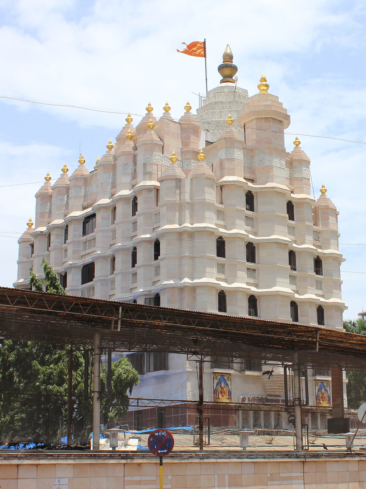 #7 in MumbaiFree entry
Shree Siddhivinayak Ganapati Mandir
Temple · 3 km · about 10 min by road
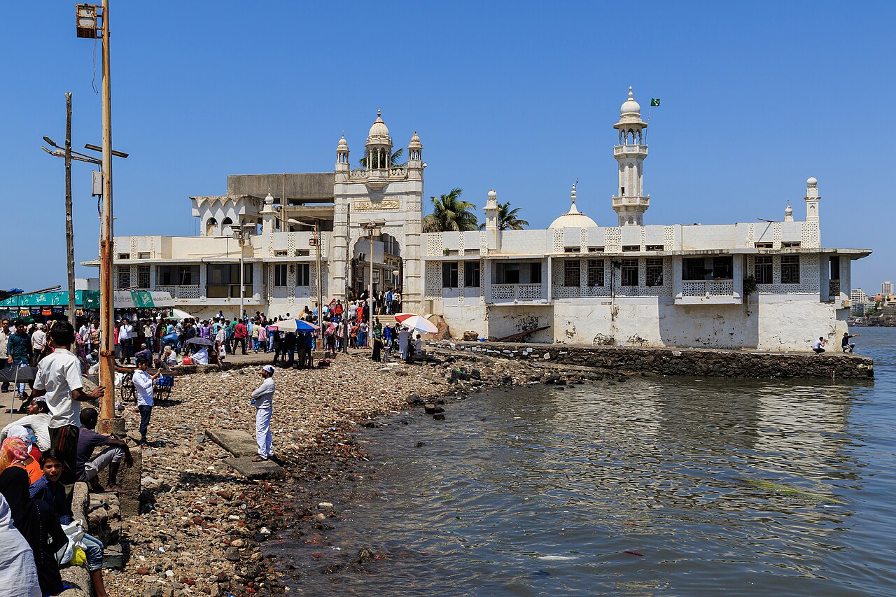 #6 in MumbaiFree entry
Haji Ali Dargah
Dargah · 6 km · about 20 min by road
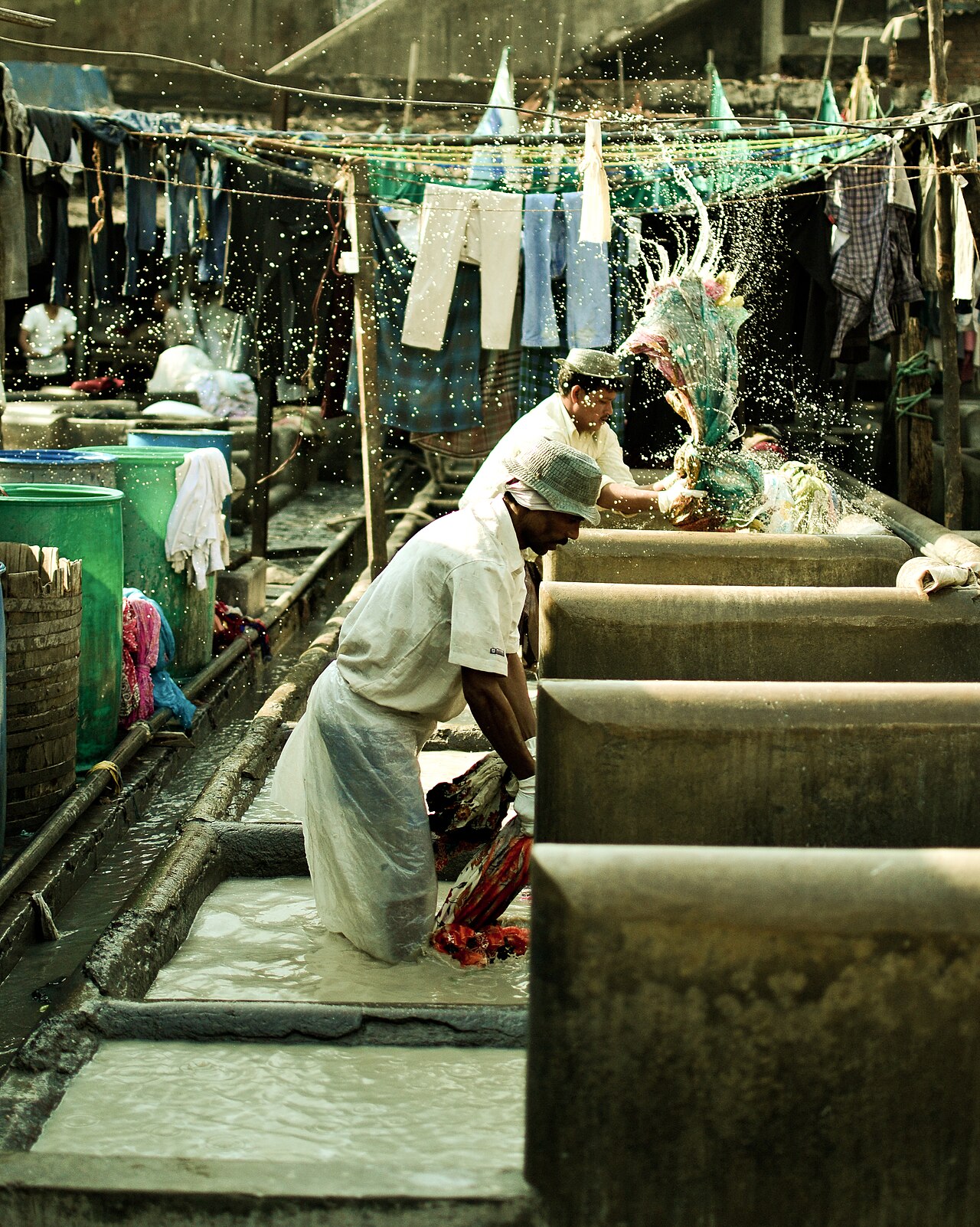 #9 in MumbaiFree entry
Mahalaxmi Dhobi Ghat
Heritage · 7 km · about 20 min by road
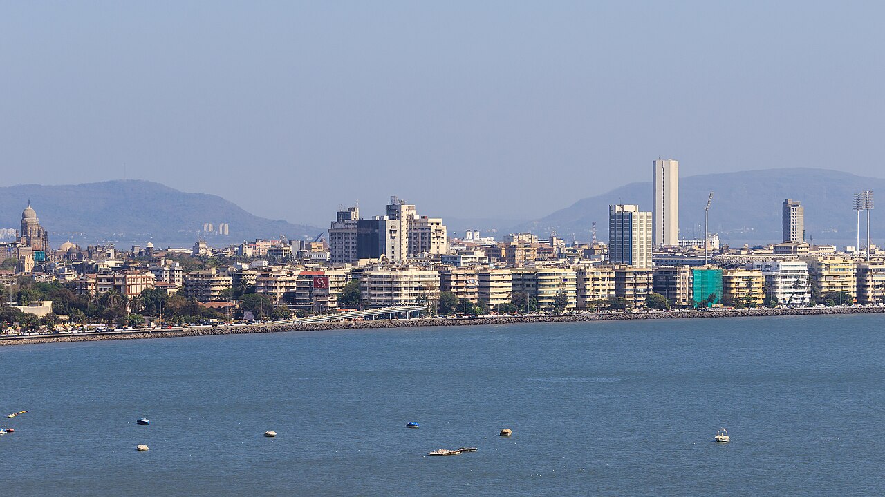 #4 in MumbaiFree entry
Marine Drive
Heritage · 11 km · about 35 min by road